Police Helicopter to Hope under Dinmore, Cherrybrook Close
Tuesday, 31 March 2026 | 0:12 | From Weobley
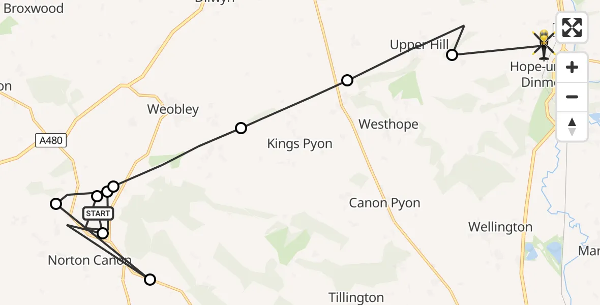
On Tuesday, 31 March 2026 at 0:12, a Police Helicopter departed from Weobley to Hope under Dinmore. It was the Police Helicopter with registration number G-POLJ. The flight lasted 6 minutes. During that period, the aircraft travelled 16 miles at an average speed of 162 miles per hour at a maximum altitude of 900 feet.
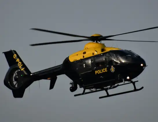
Helicopter: G-POLJ
The helicopter G-POLJ is used by the British police. The helicopter is deployed in pursuits, missing persons cases and other incidents where a helicopter provides added value.
Photo: Alec Wilson
17 miles
900 feet
162 mph
7 minutes
00:12
00:18

Route
Cherrybrook Close, Hertfordshire00:18
Upper Hill, Hertfordshire00:17
Ivington, Hertfordshire00:16
King's Pyon, Hertfordshire00:15
Weobley, Hertfordshire00:14
Norton Canon, Hertfordshire00:14
Weobley, Hertfordshire00:13
Norton Canon, Hertfordshire00:13
Mansell Lacy, Hertfordshire00:12
A480, Hertfordshire00:12
Norton Canon, Hertfordshire00:12
Weobley, Hertfordshire00:12
Live flights
Today
Flights Weobley
Helicopter flights on your website?
You can easily display helicopter flights on your own website. Use the embed code.
