Air Ambulance Helicopter to Sway, Back Lane
Monday, 30 March 2026 | 17:38 | From Thruxton Aerodrome
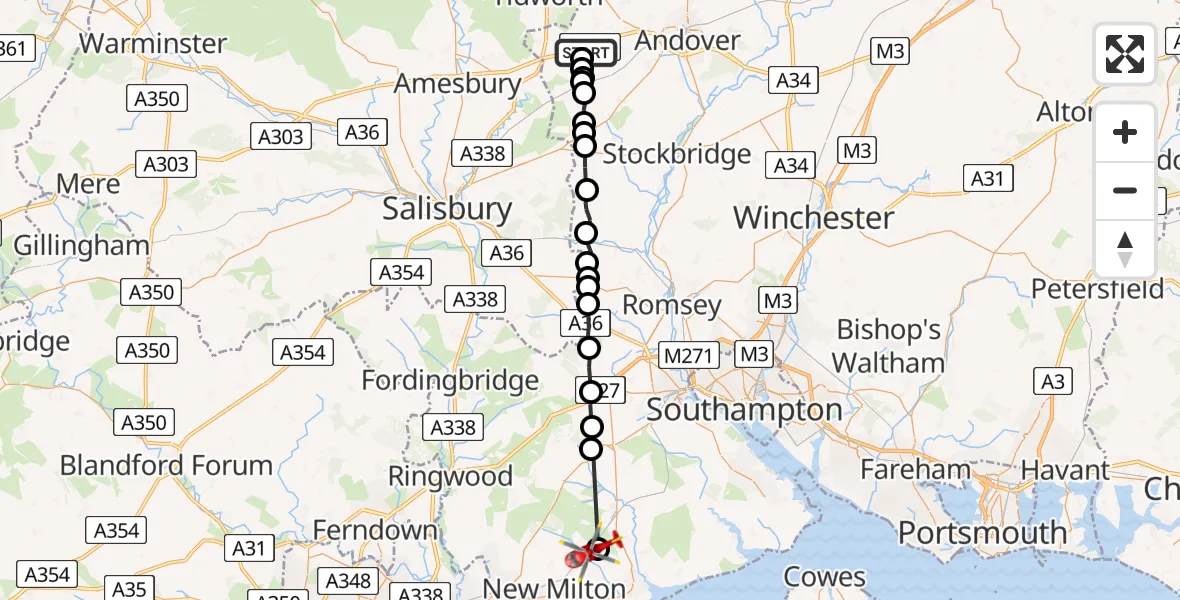
On Monday, 30 March 2026 at 17:38, a Air Ambulance Helicopter departed from Thruxton Aerodrome to Sway. It was the Air Ambulance Helicopter with registration number G-HIOW. The flight lasted 14 minutes. During that period, the aircraft travelled 29 miles at an average speed of 130 miles per hour at a maximum altitude of 1275 feet.
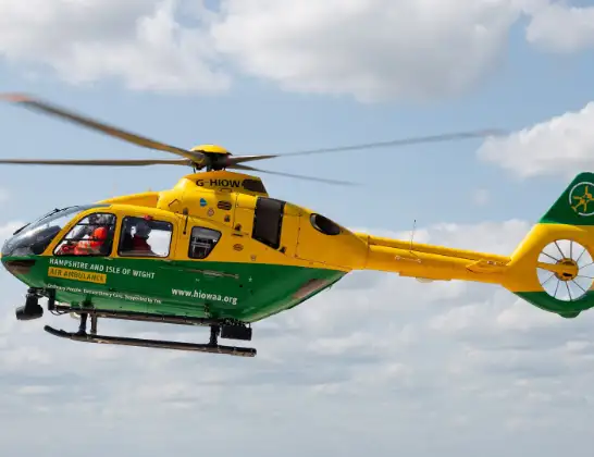
Helicopter: G-HIOW
The helicopter G-HIOW is used as a air ambulance helicopter. The main purpose of this aircraft is to transport a Mobile Medical Team to an incident as quickly as possible, enabling the trauma doctor to provide immediate first aid on site. The aircraft is flying this flight as Air Ambulance Helicopter.
Photo: JF2608
30 miles
1275 feet
130 mph
14 minutes
17:38
17:52

Route
Sway, Hampshire17:52
Back Lane, Hampshire17:51
Lyndhurst, Hampshire17:47
Emery Down, Hampshire17:47
Minstead, Hampshire17:46
Bramshaw, Hampshire17:45
Test Valley, Hampshire17:44
Sherfield English, Hampshire17:44
Whiteparish, Wiltshire17:43
Test Valley, Wiltshire17:43
Test Valley, Hampshire17:42
West Tytherley, Hampshire17:42
Test Valley, Hampshire17:41
Nether Wallop, Hampshire17:40
Test Valley, Hampshire17:40
Over Wallop, Hampshire17:39
Grateley, Hampshire17:39
Manor House Farm Airstrip, Grateley (Hamps)17:39
Grateley, Hampshire17:39
Test Valley, Hampshire17:38
A303, Hampshire17:38
Live flights
Today
Flights Sway
Air Ambulance Helicopter to Sway, Back Lane30 Mar 17:38
Air Ambulance Helicopter to Thruxton Aerodrome26 Mar 17:08
Air Ambulance Helicopter to Sway, Stanford Rise26 Mar 16:02
Helicopter flights on your website?
You can easily display helicopter flights on your own website. Use the embed code.
