Air Ambulance Helicopter to Norwich Airport
Monday, 30 March 2026 | 6:40 | From Baconsthorpe
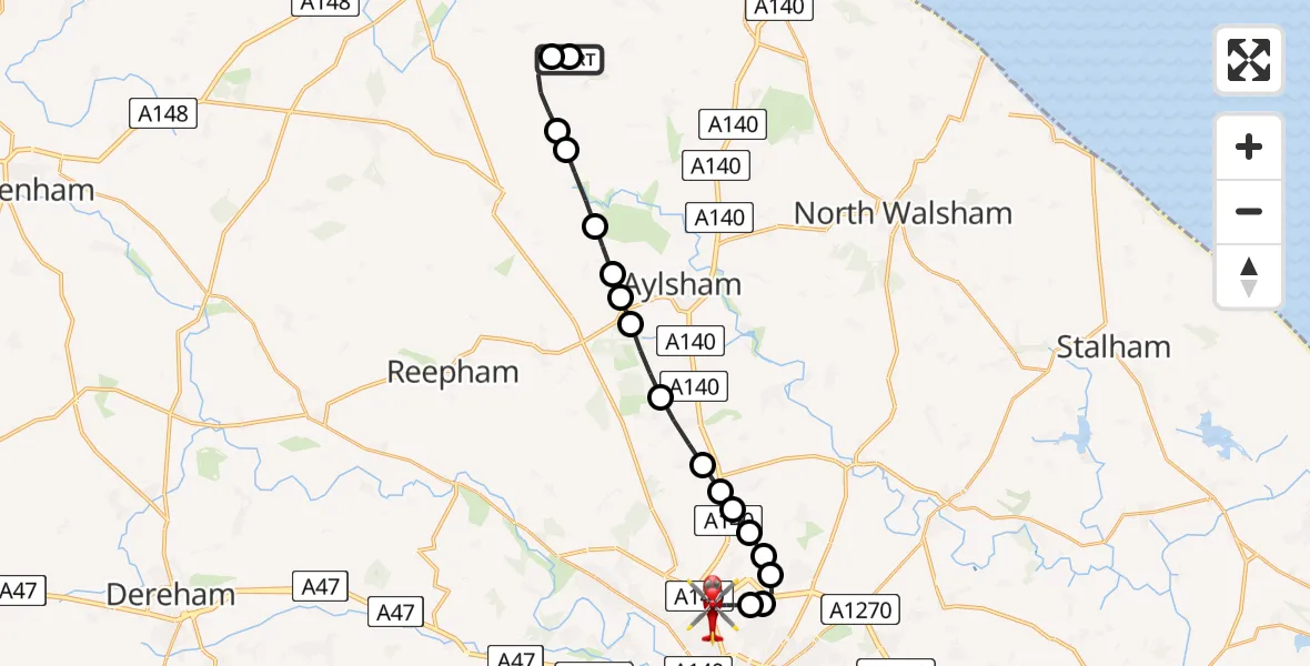
On Monday, 30 March 2026 at 6:40, a Air Ambulance Helicopter departed from Baconsthorpe to Norwich Airport. It was the Air Ambulance Helicopter with registration number G-HEMC. The flight lasted 11 minutes. During that period, the aircraft travelled 17 miles at an average speed of 93 miles per hour at a maximum altitude of 1100 feet.
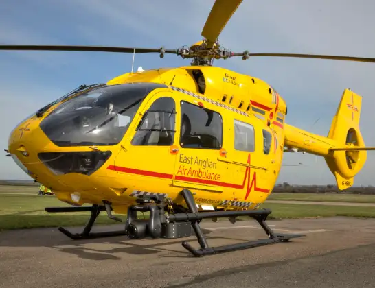
Helicopter: G-HEMC
The helicopter G-HEMC is used as a air ambulance helicopter. The main purpose of this aircraft is to transport a Mobile Medical Team to an incident as quickly as possible, enabling the trauma doctor to provide immediate first aid on site. The aircraft is flying this flight as Air Ambulance Helicopter.
Photo: Jsmauger
18 miles
1100 feet
93 mph
12 minutes
06:40
06:52

Route
Norwich Airport, Norwich, Norfolk06:52
Norwich Airport, Norwich, Norfolk06:51
Norwich Airport, Norwich, Norfolk06:48
Broadland, Norfolk06:48
Spixworth, Norfolk06:47
Horsham St Faith, Norfolk06:47
Frettenham, Norfolk06:47
Newton St Faith, Norfolk06:46
Hainford, Norfolk06:46
Stratton Strawless, Norfolk06:46
Hevingham, Norfolk06:45
Marsham, Norfolk06:44
Aylsham, Norfolk06:44
Blickling, Norfolk06:44
Oulton, Norfolk06:43
Itteringham, Norfolk06:43
North Norfolk, Norfolk06:42
Northfield Lane, Norfolk06:41
Plumstead, Norfolk06:41
Bessingham, Norfolk06:41
Baconsthorpe, Norfolk06:40
Live flights
Air Ambulance Helicopter on its way from Ashford14 Jul 23:46
Coastguard Helicopter on its way from North Sea14 Jul 23:44
Today
Police Helicopter to Johnstone, Gordon Square14 Jul 23:38
Coastguard Helicopter to North Sea14 Jul 23:30
Police Helicopter to Inner Seas14 Jul 23:12
Air Ambulance Helicopter to Norwich Airport14 Jul 22:52
Police Helicopter to Manchester Barton Aerodrome14 Jul 22:50
Police Helicopter to Sewardstonebury, Bury Road14 Jul 22:44
Air Ambulance Helicopter to Cardiff Heliport14 Jul 22:43
Flights Baconsthorpe
Air Ambulance Helicopter to Norwich Airport30 Mar 06:40
Helicopter flights on your website?
You can easily display helicopter flights on your own website. Use the embed code.
