Air Ambulance Helicopter to Treliske Hospital
Sunday, 29 March 2026 | 12:18 | From Coverack
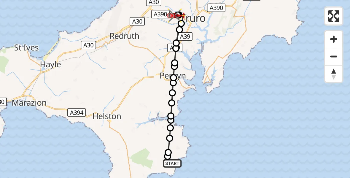
On Sunday, 29 March 2026 at 12:18, a Air Ambulance Helicopter departed from Coverack to Treliske Hospital. It was the Air Ambulance Helicopter with registration number G-CNLL. The flight lasted 10 minutes. During that period, the aircraft travelled 18 miles at an average speed of 111 miles per hour at a maximum altitude of 975 feet.
Helicopter: G-CNLL
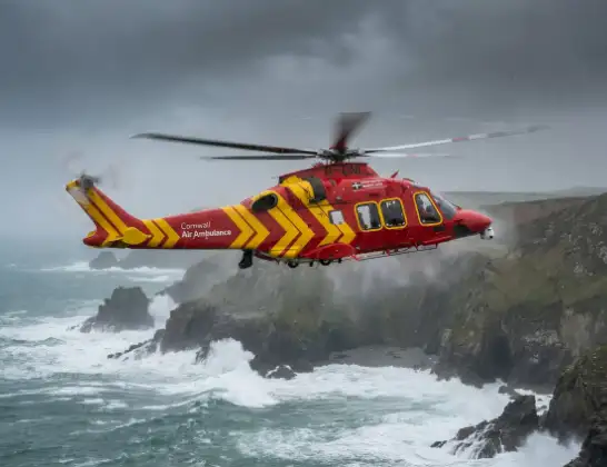
The helicopter G-CNLL is used as a air ambulance helicopter. The main purpose of this aircraft is to transport a Mobile Medical Team to an incident as quickly as possible, enabling the trauma doctor to provide immediate first aid on site. The aircraft is flying this flight as Air Ambulance Helicopter.
Photo: Tony Melony
19 miles
975 feet
111 mph
10 minutes
12:18
12:28

Route
Treliske Hospital, Truro12:28
Treliske Hospital, Truro12:27
Treliske Hospital, Truro12:27
Truro Golf Club, Cornwall12:27
Truro, Cornwall12:26
Kea, Cornwall12:25
Carnon Downs, Cornwall12:24
Devoran, Cornwall12:24
Mylor Bridge, Cornwall12:24
Tremough, Cornwall12:23
Penryn, Cornwall12:23
Falmouth, Cornwall12:23
Budock Water, Cornwall12:22
Mawnan Smith, Cornwall12:22
Mawnan, Cornwall12:21
WW2 Anti-aircaft Battery, Cornwall12:21
Lantinning Cottage, Cornwall12:21
Manaccan, Cornwall12:20
St. Keverne, Cornwall12:19
Cornwall, Cornwall12:19
Coverack, Cornwall12:19
Coverack, Cornwall12:18
Live flights
Today
Flights Coverack
Air Ambulance Helicopter to Treliske Hospital29 Mar 12:18
Helicopter flights on your website?
You can easily display helicopter flights on your own website. Use the embed code.
