Air Ambulance Helicopter to Strachur, A886
Saturday, 28 March 2026 | 20:16 | From Glasgow Airport
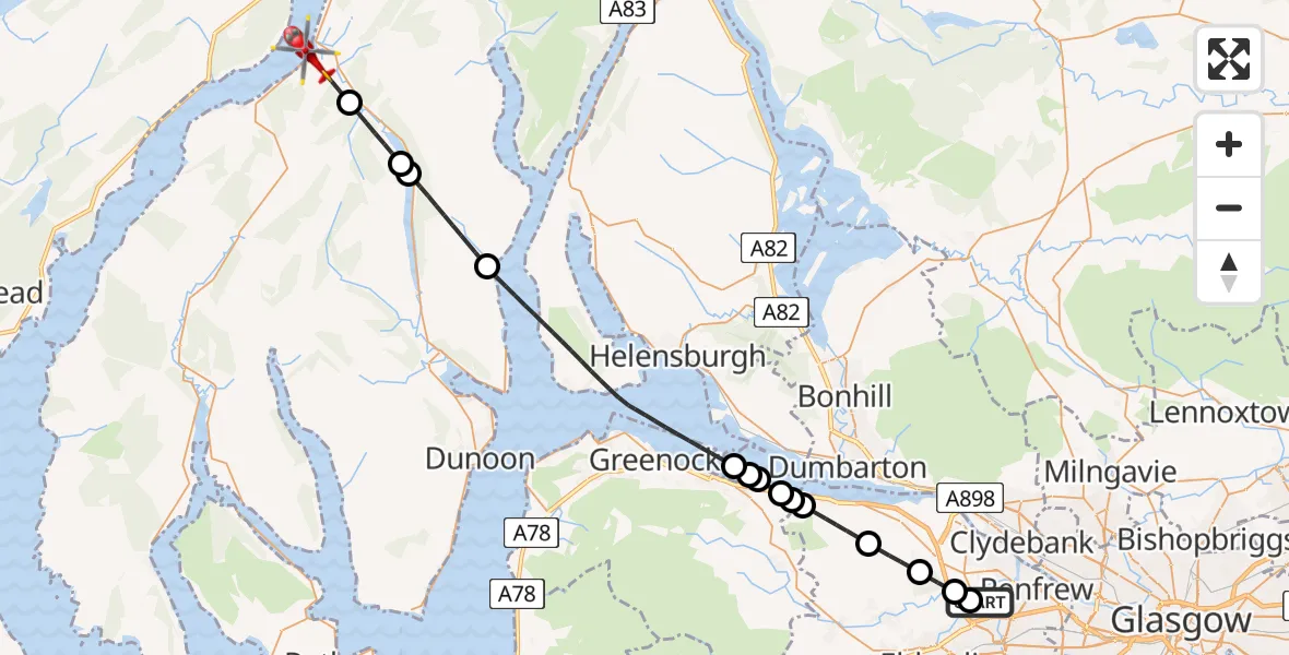
On Saturday, 28 March 2026 at 20:16, a Air Ambulance Helicopter departed from Glasgow Airport to Strachur. It was the Air Ambulance Helicopter with registration number G-ISAS. The flight lasted 17 minutes. During that period, the aircraft travelled 33 miles at an average speed of 113 miles per hour at a maximum altitude of 2675 feet.
Helicopter: G-ISAS
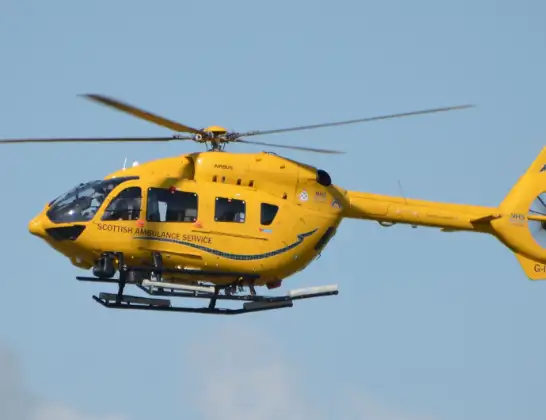
The helicopter G-ISAS is used as a air ambulance helicopter. The main purpose of this aircraft is to transport a Mobile Medical Team to an incident as quickly as possible, enabling the trauma doctor to provide immediate first aid on site. The aircraft is flying this flight as Air Ambulance Helicopter.
Photo: Jonathan Payne
33 miles
2675 feet
113 mph
18 minutes
20:16
20:34

Route
A886, Argyll and Bute20:34
Strachur, Argyll and Bute20:32
West Side Of Loch Eck Track Benmore to Glenbranter, Argyll and Bute20:31
Loch Eck20:31
Ardentinny, Argyll and Bute20:28
Inner Seas20:22
Cardross, Argyll and Bute20:22
Port Glasgow, Inverclyde20:22
Port Glasgow Community Stadium, Inverclyde20:21
Port Glasgow, Inverclyde20:21
Greenock Road, Renfrewshire20:21
Langbank, Renfrewshire20:19
Bishopton, Renfrewshire20:18
Erskine, Renfrewshire20:17
Paisley, Renfrewshire20:17
Glasgow Airport, Glasgow20:16
Live flights
Today
Flights Strachur
Air Ambulance Helicopter to Strachur, A8156 May 19:51
Air Ambulance Helicopter to Strachur, A81526 Apr 11:24
Air Ambulance Helicopter to Glasgow Airport22 Apr 15:32
Air Ambulance Helicopter to Strachur, A81519 Apr 09:34
Coastguard Helicopter to Strachur, A81512 Apr 15:44
Air Ambulance Helicopter to Strachur, A88628 Mar 20:16
Air Ambulance Helicopter to Strachur, C5716 Feb 16:42
Helicopter flights on your website?
You can easily display helicopter flights on your own website. Use the embed code.
