Air Ambulance Helicopter to Breadstone, Tyndale Road
Saturday, 28 March 2026 | 10:13 | From Almondsbury Helicopter Base
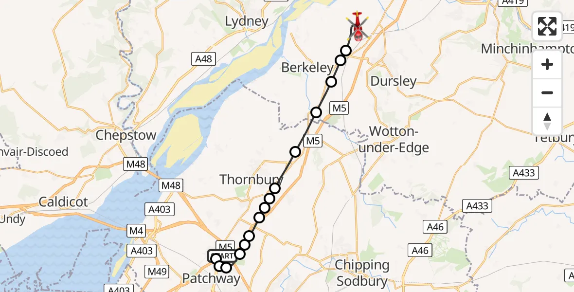
On Saturday, 28 March 2026 at 10:13, a Air Ambulance Helicopter departed from Almondsbury Helicopter Base to Breadstone. It was the Air Ambulance Helicopter with registration number G-GWAC. The flight lasted 9 minutes. During that period, the aircraft travelled 16 miles at an average speed of 113 miles per hour at a maximum altitude of 1100 feet.
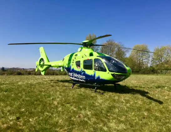
Helicopter: G-GWAC
The helicopter G-GWAC is used as a air ambulance helicopter. The main purpose of this aircraft is to transport a Mobile Medical Team to an incident as quickly as possible, enabling the trauma doctor to provide immediate first aid on site. The aircraft is flying this flight as Air Ambulance Helicopter.
Photo: Mojo0306
17 miles
1100 feet
113 mph
9 minutes
10:13
10:22

Route
Breadstone, Gloucestershire10:22
Tyndale Road, Gloucestershire10:21
Penny Lane, Gloucestershire10:21
Breadstone, Gloucestershire10:20
Stinchcombe, Gloucestershire10:20
Stroud, Gloucestershire10:19
Woodford, Gloucestershire10:18
Falfield, South Gloucestershire10:17
Milbury Heath, South Gloucestershire10:17
Thornbury, South Gloucestershire10:16
Alveston, South Gloucestershire10:16
Tytherington, South Gloucestershire10:16
Oldfields Lane, South Gloucestershire10:15
Hortham, South Gloucestershire10:15
Trench Lane, South Gloucestershire10:15
Pye Croft, South Gloucestershire10:14
Bristol, South Gloucestershire10:14
Patchway, South Gloucestershire10:14
Gloucester Road, South Gloucestershire10:14
Almondsbury Helicopter Base, Bristol, Somerset10:13
Live flights
Today
Flights Breadstone
Helicopter flights on your website?
You can easily display helicopter flights on your own website. Use the embed code.
