Air Ambulance Helicopter to City of Nottingham, University Boulevard
Saturday, 28 March 2026 | 9:54 | From Swadlincote
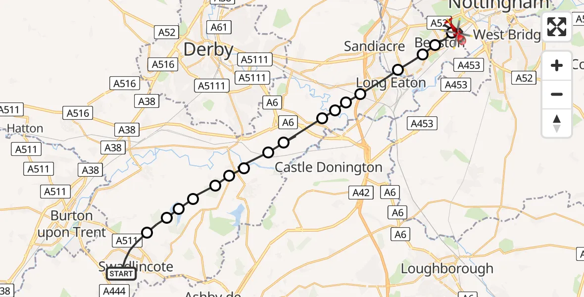
On Saturday, 28 March 2026 at 9:54, a Air Ambulance Helicopter departed from Swadlincote to City of Nottingham. It was the Air Ambulance Helicopter with registration number G-WNAS. The flight lasted 9 minutes. During that period, the aircraft travelled 23 miles at an average speed of 158 miles per hour at a maximum altitude of 1125 feet.
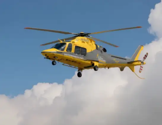
Helicopter: G-WNAS
The helicopter G-WNAS is used as an ambulance helicopter. The helicopter is equipped with a stretcher for transporting patients. The helicopter is often used to transport to hospitals.
Photo: Tony Melony
24 miles
1125 feet
158 mph
9 minutes
09:54
10:03

Route
University Boulevard, Hartlepool10:03
City of Nottingham, Hartlepool10:01
Beeston, Nottinghamshire10:01
Attenborough, Nottinghamshire10:01
City of Nottingham, Nottinghamshire10:00
Long Eaton, Derbyshire10:00
Breaston, Derbyshire09:59
Draycott, Derbyshire09:59
Shardlow, Derbyshire09:59
Aston-on-Trent, Derbyshire09:58
Weston-on-Trent, Derbyshire09:58
Melbourne CP, Derbyshire09:57
Stanton by Bridge CP, Derbyshire09:57
South Derbyshire, Derbyshire09:57
Ticknall CP, Derbyshire09:56
South Derbyshire, Derbyshire09:56
Repton CP, Derbyshire09:56
Hartshorne, Derbyshire09:55
Hearthcote Road, Derbyshire09:54
Live flights
Today
Flights Swadlincote
Air Ambulance Helicopter to Swadlincote28 Mar 09:07
Helicopter flights on your website?
You can easily display helicopter flights on your own website. Use the embed code.
