Air Ambulance Helicopter to A9
Friday, 27 March 2026 | 15:41 | From Highland
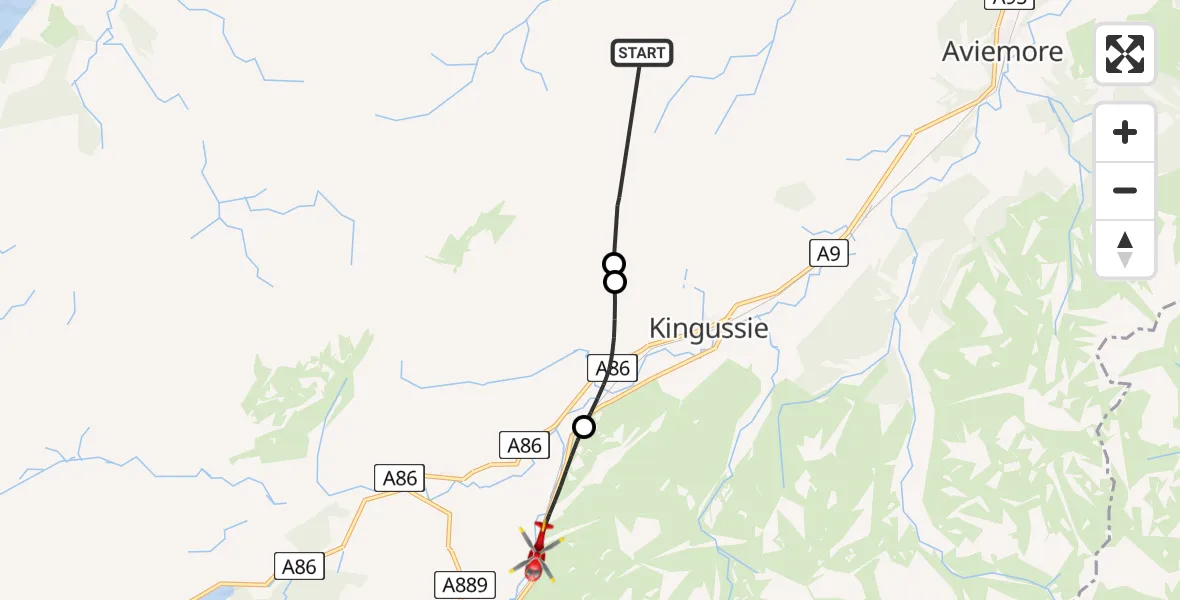
On Friday, 27 March 2026 at 15:41, a Air Ambulance Helicopter departed from Highland to A9. It was the Air Ambulance Helicopter with registration number G-GSAS. The flight lasted 8 minutes. During that period, the aircraft travelled 15 miles at an average speed of 113 miles per hour at a maximum altitude of 3200 feet.
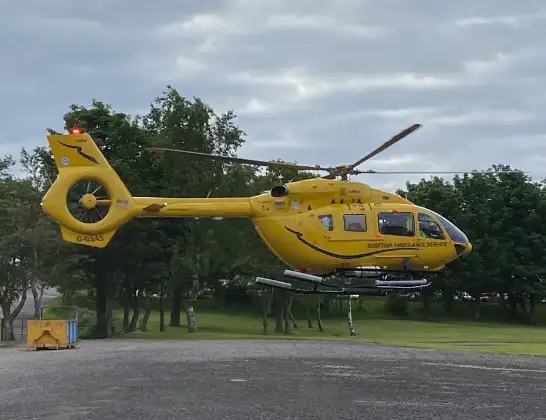
Helicopter: G-GSAS
The helicopter G-GSAS is used as a air ambulance helicopter. The main purpose of this aircraft is to transport a Mobile Medical Team to an incident as quickly as possible, enabling the trauma doctor to provide immediate first aid on site. The aircraft is flying this flight as Air Ambulance Helicopter.
Photo: Scanbus
15 miles
3200 feet
113 mph
8 minutes
15:41
15:49

Route
A9, Highland15:49
A9, Highland15:47
Newtonmore, Highland15:45
Kingussie, Highland15:45
Highland, Highland15:41
Live flights
Today
Flights A9
Air Ambulance Helicopter to Kincraig, B915227 Mar 17:16
Air Ambulance Helicopter to A927 Mar 15:41
Flights Highland
Air Ambulance Helicopter to Bog of Surtan4 Jul 21:06
Coastguard Helicopter to Glasgow Airport4 Jul 14:56
Air Ambulance Helicopter to Highland3 Jul 09:44
Air Ambulance Helicopter to Highland3 Jul 04:01
Air Ambulance Helicopter to Highland2 Jul 17:56
Helicopter flights on your website?
You can easily display helicopter flights on your own website. Use the embed code.
