Air Ambulance Helicopter to Blacklaw
Friday, 27 March 2026 | 9:22 | From Glasgow Airport
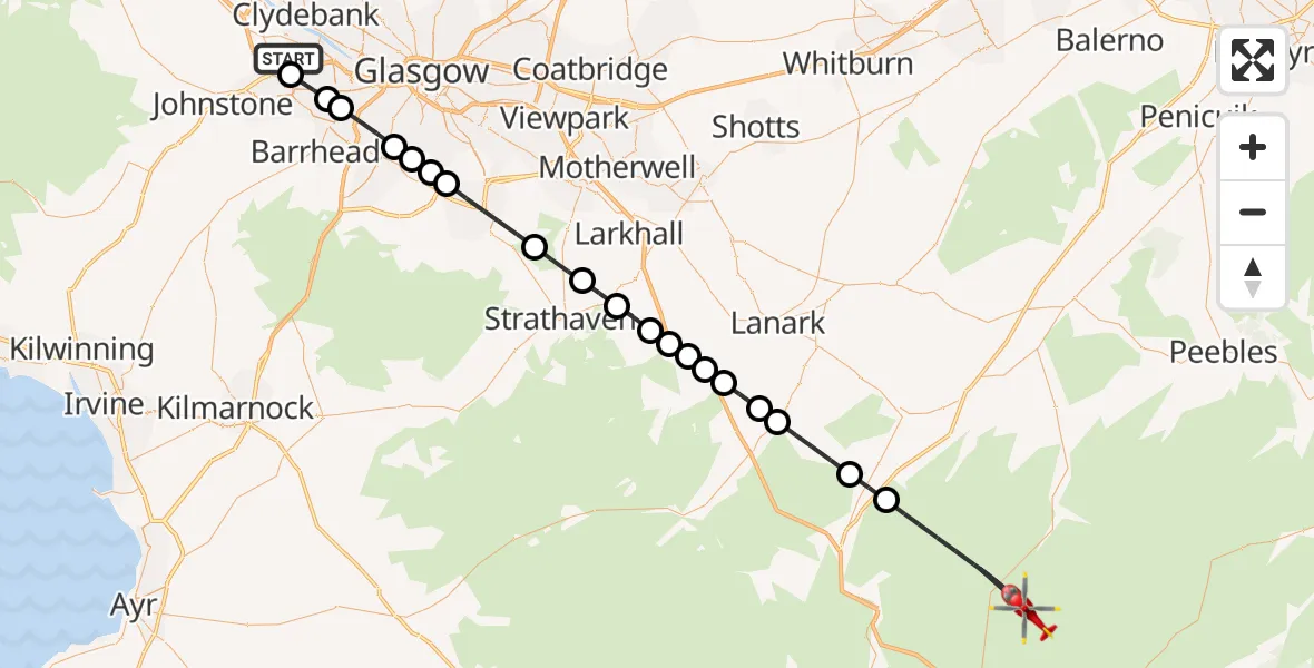
On Friday, 27 March 2026 at 9:22, a Air Ambulance Helicopter departed from Glasgow Airport to Blacklaw. It was the Air Ambulance Helicopter with registration number G-ISAS. The flight lasted 20 minutes. During that period, the aircraft travelled 51 miles at an average speed of 158 miles per hour at a maximum altitude of 3025 feet.
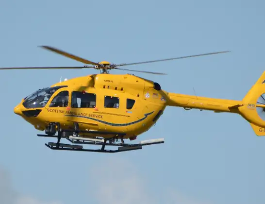
Helicopter: G-ISAS
The helicopter G-ISAS is used as a air ambulance helicopter. The main purpose of this aircraft is to transport a Mobile Medical Team to an incident as quickly as possible, enabling the trauma doctor to provide immediate first aid on site. The aircraft is flying this flight as Air Ambulance Helicopter.
Photo: Jonathan Payne
52 miles
3025 feet
158 mph
20 minutes
09:22
09:41

Route
Blacklaw, Blacklaw09:41
Lamington, Lamington09:36
Wiston, Wiston09:36
Rigside, Rigside09:34
Douglas Water, Douglas Water09:34
Lesmahagow, Lesmahagow09:33
Brocketsbrae, Brocketsbrae09:32
Lesmahagow, Lesmahagow09:32
Kirkmuirhill, Kirkmuirhill09:32
Boghead, Boghead09:31
Stonehouse, Stonehouse09:30
Glassford, Glassford09:30
Chapelton, Chapelton09:28
East Kilbride, East Kilbride09:26
Carmunnock, Carmunnock09:26
Glasgow, Glasgow09:26
Giffnock, Giffnock09:25
Glasgow, Glasgow09:24
Ralston, Ralston09:24
Paisley, Paisley09:22
Glasgow Airport, Glasgow09:22
Live flights
Air Ambulance Helicopter on its way from Ashford14 Jul 23:46
Coastguard Helicopter on its way from North Sea14 Jul 23:44
Police Helicopter on its way from Inner Seas14 Jul 23:38
Today
Coastguard Helicopter to North Sea14 Jul 23:30
Police Helicopter to Inner Seas14 Jul 23:12
Air Ambulance Helicopter to Norwich Airport14 Jul 22:52
Police Helicopter to Manchester Barton Aerodrome14 Jul 22:50
Police Helicopter to Sewardstonebury, Bury Road14 Jul 22:44
Air Ambulance Helicopter to Cardiff Heliport14 Jul 22:43
Coastguard Helicopter to North Sea14 Jul 22:40
Flights Blacklaw
Air Ambulance Helicopter to Blacklaw27 Mar 09:22
Helicopter flights on your website?
You can easily display helicopter flights on your own website. Use the embed code.
