Air Ambulance Helicopter to Aberdeen City, Westburn Drive
Thursday, 26 March 2026 | 23:22 | From Marypark
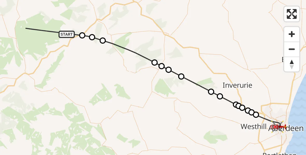
On Thursday, 26 March 2026 at 23:22, a Air Ambulance Helicopter departed from Marypark to Aberdeen City. It was the Air Ambulance Helicopter with registration number G-GSAS. The flight lasted 24 minutes. During that period, the aircraft travelled 60 miles at an average speed of 154 miles per hour at a maximum altitude of 2275 feet.
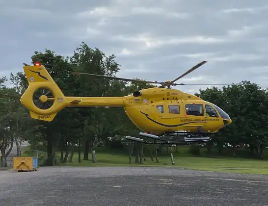
Helicopter: G-GSAS
The helicopter G-GSAS is used as a air ambulance helicopter. The main purpose of this aircraft is to transport a Mobile Medical Team to an incident as quickly as possible, enabling the trauma doctor to provide immediate first aid on site. The aircraft is flying this flight as Air Ambulance Helicopter.
Photo: Scanbus
61 miles
2275 feet
154 mph
24 minutes
23:22
23:46

Route
Westburn Drive, Aberdeen City23:46
Aberdeen City, Aberdeen City23:41
Blackburn, Blackburn23:41
Muir of Kinellar, Muir of Kinellar23:40
Kintore, Kintore23:40
Lyne of Skene, Lyne of Skene23:40
Kintore, Kintore23:39
Kemnay, Kemnay23:38
23:37
Monymusk, Monymusk23:37
Leslie, Leslie23:34
Clatt, Clatt23:33
Gartly, Gartly23:33
Rhynie, Rhynie23:32
Dufftown, Dufftown23:28
Edinville, Edinville23:27
Aberlour, Aberlour23:26
Marypark, Marypark23:25
Live flights
Air Ambulance Helicopter on its way from Ashford14 Jul 23:46
Coastguard Helicopter on its way from North Sea14 Jul 23:44
Today
Police Helicopter to Johnstone, Gordon Square14 Jul 23:38
Coastguard Helicopter to North Sea14 Jul 23:30
Police Helicopter to Inner Seas14 Jul 23:12
Air Ambulance Helicopter to Norwich Airport14 Jul 22:52
Police Helicopter to Manchester Barton Aerodrome14 Jul 22:50
Police Helicopter to Sewardstonebury, Bury Road14 Jul 22:44
Air Ambulance Helicopter to Cardiff Heliport14 Jul 22:43
Flights Marypark
Helicopter flights on your website?
You can easily display helicopter flights on your own website. Use the embed code.
