Air Ambulance Helicopter to Bearsden, Woodbank Road
Thursday, 26 March 2026 | 13:53 | From Crosshouse University Hospital
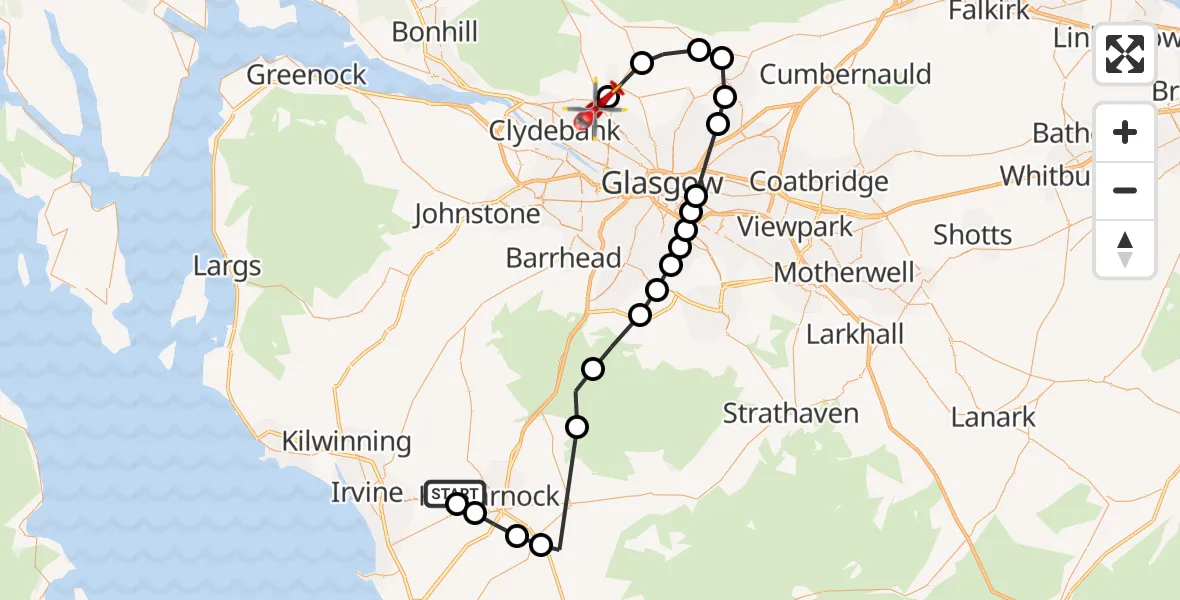
On Thursday, 26 March 2026 at 13:53, a Air Ambulance Helicopter departed from Crosshouse University Hospital to Bearsden. It was the Air Ambulance Helicopter with registration number G-ISAS. The flight lasted 29 minutes. During that period, the aircraft travelled 45 miles at an average speed of 91 miles per hour at a maximum altitude of 2850 feet.
Helicopter: G-ISAS
The helicopter G-ISAS is used as a air ambulance helicopter. The main purpose of this aircraft is to transport a Mobile Medical Team to an incident as quickly as possible, enabling the trauma doctor to provide immediate first aid on site. The aircraft is flying this flight as Air Ambulance Helicopter.
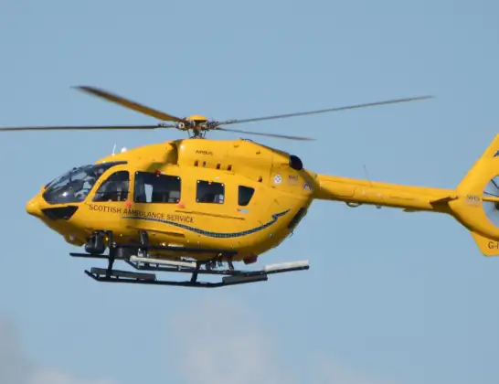
Photo: Jonathan Payne
45 miles
2850 feet
91 mph
30 minutes
13:53
14:23

Route
Bearsden, Bearsden14:13
Glasgow, Glasgow14:12
Milngavie, Milngavie14:11
Lennoxtown, Lennoxtown14:09
Milton of Campsie, Milton of Campsie14:09
Kirkintilloch, Kirkintilloch14:08
Stepps, Stepps14:07
Glasgow, Glasgow14:06
River Clyde14:05
Rutherglen, Rutherglen14:05
Glasgow, Glasgow14:05
Carmunnock, Carmunnock14:04
Glasgow, Glasgow14:04
Waterfoot, Waterfoot14:03
Eaglesham, Eaglesham14:02
Waterside, Waterside14:00
Crossroads, Crossroads13:57
Bellfield, Bellfield13:56
Kilmarnock, Kilmarnock13:55
Crosshouse, Crosshouse13:54
Woodbank Road, Crosshouse13:53
Live flights
Today
Coastguard Drone to North Sea09:56:54
Flights Bearsden
Police Helicopter to Bearsden, Forrest Drive3 Jul 12:10
Police Helicopter to Bearsden, Sinclair Avenue12 May 10:56
Police Helicopter to Bearsden, Antonine Road21 Apr 09:41
Police Helicopter to Bearsden, Canniesburn Drive18 Mar 13:55
Police Helicopter to Milngavie, Rannoch Drive17 Mar 20:57
Helicopter flights on your website?
You can easily display helicopter flights on your own website. Use the embed code.
