Air Ambulance Helicopter to Taunton, Barton Close
Wednesday, 25 March 2026 | 17:25 | From Dunster
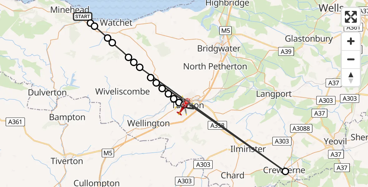
On Wednesday, 25 March 2026 at 17:25, a Air Ambulance Helicopter departed from Dunster to Taunton. It was the Air Ambulance Helicopter with registration number G-DAAN. The flight lasted 10 minutes. During that period, the aircraft travelled 68 miles at an average speed of 417 miles per hour at a maximum altitude of 1675 feet.
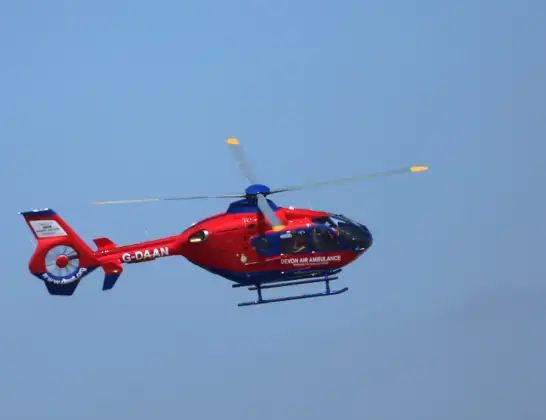
Helicopter: G-DAAN
The helicopter G-DAAN is used as a air ambulance helicopter. The main purpose of this aircraft is to transport a Mobile Medical Team to an incident as quickly as possible, enabling the trauma doctor to provide immediate first aid on site. The aircraft is flying this flight as Air Ambulance Helicopter.
Photo: Ronnie Macdonald
68 miles
1675 feet
417 mph
10 minutes
17:25
17:35

Route
Barton Close, Taunton17:35
Taunton, Taunton17:32
Bishop's Hull, Bishop's Hull17:32
Taunton, Taunton17:32
Norton Fitzwarren, Norton Fitzwarren17:31
Cotford St Luke, Cotford St Luke17:31
Bishop's Lydeard, Bishop's Lydeard17:31
Taunton, Taunton17:30
Crewkerne, Crewkerne17:30
Lydeard St. Lawrence, Lydeard St. Lawrence17:29
Elworthy, Elworthy17:29
Lydeard St. Lawrence, Taunton17:29
Monksilver, Monksilver17:28
Washford, Washford17:27
Bilbrook, Bilbrook17:27
Blue Anchor, Blue Anchor17:26
Station Road, Dunster17:25
Live flights
Today
Police Helicopter to Ewelme20:13:43
Flights Taunton
Air Ambulance Helicopter to Taunton, Trull Road12 Jun 13:20
Air Ambulance Helicopter to Henstridge Airfield25 May 19:04
Police Helicopter to Rockbeare, Silver Lane19 May 19:29
Police Helicopter to Bishop's Tawton, A36119 May 14:42
Flights Dunster
Air Ambulance Helicopter to Dunster20 May 17:16
Air Ambulance Helicopter to Musgrove Hospital12 Apr 21:53
Air Ambulance Helicopter to Dunster12 Apr 20:38
Air Ambulance Helicopter to Dunster, Drift Road25 Mar 16:09
Air Ambulance Helicopter to Dunster, Mill Lane25 Mar 12:48
Helicopter flights on your website?
You can easily display helicopter flights on your own website. Use the embed code.
