Air Ambulance Helicopter to Plymouth, Wolseley Road
Wednesday, 25 March 2026 | 16:41 | From Cornwall Airport Newquay
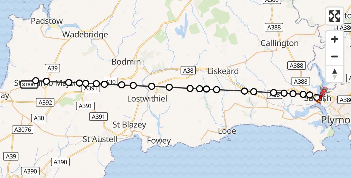
On Wednesday, 25 March 2026 at 16:41, a Air Ambulance Helicopter departed from Cornwall Airport Newquay to Plymouth. It was the Air Ambulance Helicopter with registration number G-CNLL. The flight lasted 14 minutes. During that period, the aircraft travelled 35 miles at an average speed of 149 miles per hour at a maximum altitude of 1400 feet.
Helicopter: G-CNLL
The helicopter G-CNLL is used as a air ambulance helicopter. The main purpose of this aircraft is to transport a Mobile Medical Team to an incident as quickly as possible, enabling the trauma doctor to provide immediate first aid on site. The aircraft is flying this flight as Air Ambulance Helicopter.
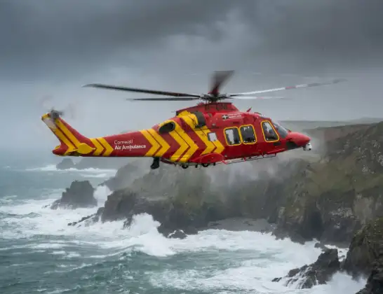
Photo: Tony Melony
35 miles
1400 feet
149 mph
15 minutes
16:41
16:55

Route
Wolseley Road, Plymouth16:55
Saltash, Saltash16:55
Forder, Saltash16:55
Trematon, Saltash16:54
Trematon, Trematon16:54
Landrake, Landrake16:53
Tideford, Tideford16:53
St. Germans, St. Germans16:52
Menheniot, Menheniot16:52
St. Keyne and Trewidland, St. Keyne and Trewidland16:51
Duloe, Duloe16:50
Liskeard, Liskeard16:50
St. Pinnock, St. Pinnock16:50
Broadoak, Broadoak16:49
St. Winnow, St. Winnow16:48
Lostwithiel, Lostwithiel16:47
Lanivet, Lanivet16:47
Luxulyan, Luxulyan16:46
Lanivet, Lanivet16:46
Withiel, Withiel16:46
Roche, Roche16:45
St. Wenn, St. Wenn16:45
Gluvian, St. Columb Major16:44
St. Mawgan, St. Mawgan16:43
Cornwall Airport Newquay, Newquay16:43
Cornwall Airport Newquay, Newquay16:41
Live flights
Police Helicopter on its way from Dundrod12 Jul 22:50
Today
Police Helicopter to East Ardsley, Stoney Lane12 Jul 23:51
Police Helicopter to Birmingham Airport12 Jul 23:46
Police Helicopter to Parkham Ash12 Jul 23:41
Air Ambulance Helicopter to Newlands of Culloden12 Jul 23:24
Flights Plymouth
Police Helicopter to Plymouth, Holne Chase4 Mar 21:19
Helicopter flights on your website?
You can easily display helicopter flights on your own website. Use the embed code.
