Air Ambulance Helicopter to Shifnal, M54
Wednesday, 25 March 2026 | 14:23 | From Bramshall
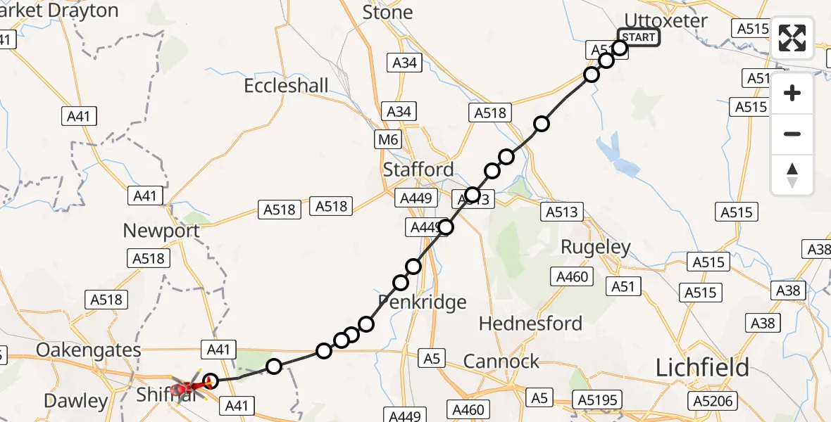
On Wednesday, 25 March 2026 at 14:23, a Air Ambulance Helicopter departed from Bramshall to Shifnal. It was the Air Ambulance Helicopter with registration number G-SCAA. The flight lasted 12 minutes. During that period, the aircraft travelled 25 miles at an average speed of 121 miles per hour at a maximum altitude of 1250 feet.
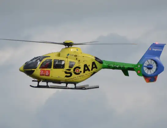
Helicopter: G-SCAA
The helicopter G-SCAA is used as a air ambulance helicopter. The main purpose of this aircraft is to transport a Mobile Medical Team to an incident as quickly as possible, enabling the trauma doctor to provide immediate first aid on site. The aircraft is flying this flight as Air Ambulance Helicopter.
Photo: Jonathan Payne
25 miles
1250 feet
121 mph
13 minutes
14:23
14:36

Route
M54, Shifnal14:36
Shifnal, Shifnal14:35
Tong, Tong14:34
Bishops Wood, South Staffordshire14:33
South Staffordshire, South Staffordshire14:32
Lapley, South Staffordshire14:32
South Staffordshire, South Staffordshire14:32
Penkridge, South Staffordshire14:30
South Staffordshire, South Staffordshire14:30
Acton Trussell, South Staffordshire14:29
Walton on the Hill, Stafford14:28
Tixall, Stafford14:27
Stafford, Stafford14:27
Hixon, Stafford14:26
Stowe-by-Chartley, Stafford14:24
Kingstone, East Staffordshire14:24
Bramshall, East Staffordshire14:24
Stafford Road, Uttoxeter14:23
Today
Coastguard Helicopter to Solent Airport5 Jul 23:21
Air Ambulance Aircraft to RAF Lossiemouth5 Jul 23:17
Police Helicopter to Glasgow, Beech Avenue5 Jul 23:05
Police Aircraft to East Midlands Airport5 Jul 22:38
Air Ambulance Helicopter to North Sea5 Jul 22:14
Police Helicopter to Solihull, Centro Way5 Jul 22:09
Police Helicopter to Hawarden Airport5 Jul 21:47
Flights Shifnal
Air Ambulance Helicopter to Shifnal23 Jun 17:30
Air Ambulance Helicopter to Pickmere, Jetty26 May 17:14
Air Ambulance Helicopter to Allscott, B43945 Apr 12:05
Air Ambulance Helicopter to Wistanswick29 Mar 11:33
Air Ambulance Helicopter to Shifnal, M5427 Mar 12:38
Air Ambulance Helicopter to Shifnal, M5425 Mar 14:23
Flights Bramshall
Air Ambulance Helicopter to Shifnal, M5425 Mar 14:23
Helicopter flights on your website?
You can easily display helicopter flights on your own website. Use the embed code.
