Air Ambulance Helicopter to Aintree University Hospital Heliport
Wednesday, 25 March 2026 | 12:05 | From Rhuallt
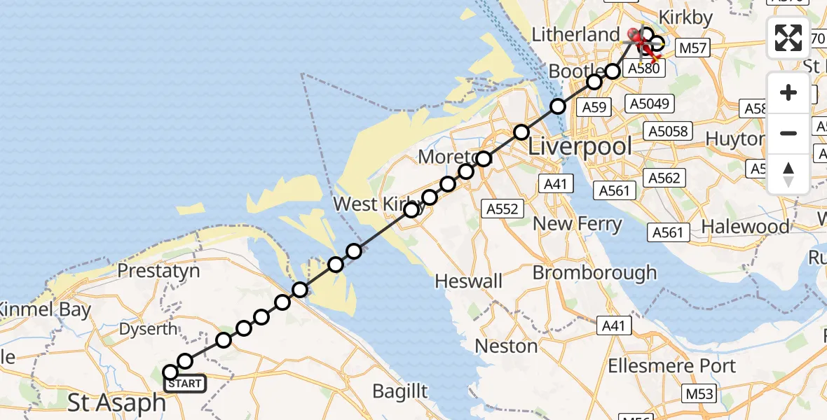
On Wednesday, 25 March 2026 at 12:05, a Air Ambulance Helicopter departed from Rhuallt to Aintree University Hospital Heliport. It was the Air Ambulance Helicopter with registration number G-WOBR. The flight lasted 12 minutes. During that period, the aircraft travelled 26 miles at an average speed of 128 miles per hour at a maximum altitude of 1575 feet.
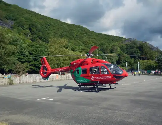
Helicopter: G-WOBR
The helicopter G-WOBR is used as a air ambulance helicopter. The main purpose of this aircraft is to transport a Mobile Medical Team to an incident as quickly as possible, enabling the trauma doctor to provide immediate first aid on site. The aircraft is flying this flight as Air Ambulance Helicopter.
Photo: Hefin Owen
26 miles
1575 feet
128 mph
13 minutes
12:05
12:18

Route
Aintree University Hospital Heliport, 12:18
Aintree University Hospital Heliport12:17
Liverpool, Liverpool12:16
Kirkby, Liverpool12:16
Liverpool, Liverpool12:15
Bootle, Liverpool12:15
Liverpool, Liverpool12:14
Wallasey, Wirral12:13
Bidston Hill, Wirral12:12
Upton, Wirral12:12
Saughall Massie, Wirral12:12
Frankby, Wirral12:11
Caldy, Wirral12:11
West Kirby, Wirral12:10
Holywell, Holywell12:10
Mostyn, Mostyn12:09
Rhewl-Mostyn, Rhewl-Mostyn12:09
Trelogan, Trelogan12:08
Berthengam, Berthengam12:08
Lloc, Lloc12:07
St Asaph, St Asaph12:07
Cwm, Cwm12:06
Gwibffordd Gogledd Cymru / North Wales Expressway, Rhuallt12:05
Live flights
Today
Flights Rhuallt
Police Helicopter to Hawarden Airport19 Jan 17:23
Helicopter flights on your website?
You can easily display helicopter flights on your own website. Use the embed code.
