Police Helicopter to South Nutfield, Coopers Hill Road
Monday, 23 March 2026 | 20:45 | From Glynde
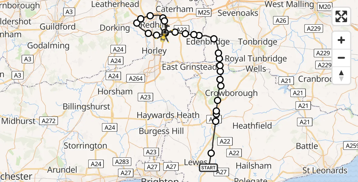
On Monday, 23 March 2026 at 20:45, a Police Helicopter departed from Glynde to South Nutfield. It was the Police Helicopter with registration number G-POLH. The flight lasted 25 minutes. During that period, the aircraft travelled 48 miles at an average speed of 114 miles per hour at a maximum altitude of 1200 feet.
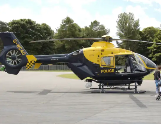
Helicopter: G-POLH
The helicopter G-POLH is used by the British police. The helicopter is deployed in pursuits, missing persons cases and other incidents where a helicopter provides added value.
Photo: Arpingstone
48 miles
1200 feet
114 mph
26 minutes
20:45
21:10

Route
Coopers Hill Road, South Nutfield21:10
South Nutfield, South Nutfield21:10
Nutfield, Nutfield21:09
Tandridge, Tandridge21:09
Gatton, Reigate and Banstead21:08
Lower Kingswood, Reigate and Banstead21:07
Buckland, Mole Valley21:07
Reigate, Reigate and Banstead21:06
Salfords, Reigate and Banstead21:05
South Nutfield, South Nutfield20:59
Tandridge, Tandridge20:58
South Godstone, South Godstone20:57
Crowhurst, Crowhurst20:56
Tandridge, Tandridge20:56
Edenbridge, Edenbridge20:55
Hever, Sevenoaks20:54
Cowden, Sevenoaks20:53
Tunbridge Wells, Tunbridge Wells20:53
Wealden, Wealden20:52
Hartfield, Wealden20:52
Withyham, Wealden20:51
Wealden, Wealden20:50
Fairwarp, Wealden20:49
Five Ash Down, Wealden20:49
Ringles Cross, Wealden20:49
Broyle Side, Lewes20:46
Ranscombe Lane, Lewes20:45
Today
Flights Glynde
Helicopter flights on your website?
You can easily display helicopter flights on your own website. Use the embed code.
