Air Ambulance Helicopter to Harwell, RAF Benson
Monday, 23 March 2026 | 14:19 | From RAF Benson
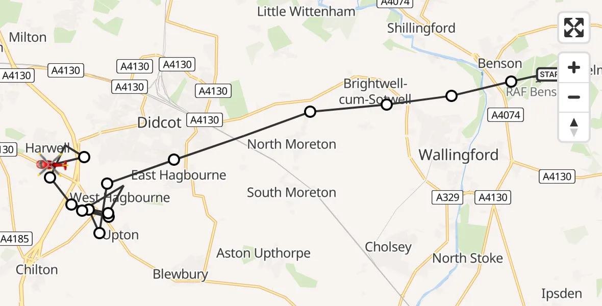
On Monday, 23 March 2026 at 14:19, a Air Ambulance Helicopter departed from RAF Benson to Harwell. It was the Air Ambulance Helicopter with registration number G-TVLY. The flight lasted 20 minutes. During that period, the aircraft travelled 14 miles at an average speed of 44 miles per hour at a maximum altitude of 975 feet.
Helicopter: G-TVLY
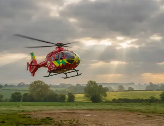
The helicopter G-TVLY is used as a air ambulance helicopter. The main purpose of this aircraft is to transport a Mobile Medical Team to an incident as quickly as possible, enabling the trauma doctor to provide immediate first aid on site. The aircraft is flying this flight as Air Ambulance Helicopter.
Photo: Tony Melony
15 miles
975 feet
44 mph
20 minutes
14:19
14:39

Route
Harwell, Vale of White Horse14:29
Vale of White Horse, Vale of White Horse14:29
Harwell, Vale of White Horse14:28
South Oxfordshire, South Oxfordshire14:28
Upton, Vale of White Horse14:27
West Hagbourne, South Oxfordshire14:26
Upton, Vale of White Horse14:26
West Hagbourne, South Oxfordshire14:25
Upton, Vale of White Horse14:25
West Hagbourne, South Oxfordshire14:24
East Hagbourne, South Oxfordshire14:23
North Moreton, South Oxfordshire14:22
Brightwell-cum-Sotwell, South Oxfordshire14:22
Shillingford, South Oxfordshire14:21
Benson, South Oxfordshire14:20
RAF Benson, Wallingford, Oxfordshire14:20
RAF Benson, Wallingford, Oxfordshire14:19
Live flights
Today
Flights Harwell
Air Ambulance Helicopter to Harwell, RAF Benson23 Mar 14:19
Air Ambulance Helicopter to Harwell, A3427 Jan 22:11
Helicopter flights on your website?
You can easily display helicopter flights on your own website. Use the embed code.
