Air Ambulance Helicopter to Coventry, Halls Drive
Sunday, 22 March 2026 | 16:35 | From Monks Kirby CP
On Sunday, 22 March 2026 at 16:35, a Air Ambulance Helicopter departed from Monks Kirby CP to Coventry. It was the Air Ambulance Helicopter with registration number G-SCAA. The flight lasted 6 minutes. During that period, the aircraft travelled 11 miles at an average speed of 110 miles per hour at a maximum altitude of 1125 feet.
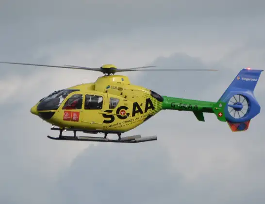
Helicopter: G-SCAA
The helicopter G-SCAA is used as a air ambulance helicopter. The main purpose of this aircraft is to transport a Mobile Medical Team to an incident as quickly as possible, enabling the trauma doctor to provide immediate first aid on site. The aircraft is flying this flight as Air Ambulance Helicopter.
Photo: Jonathan Payne
12 miles
1125 feet
110 mph
7 minutes
16:35
16:41

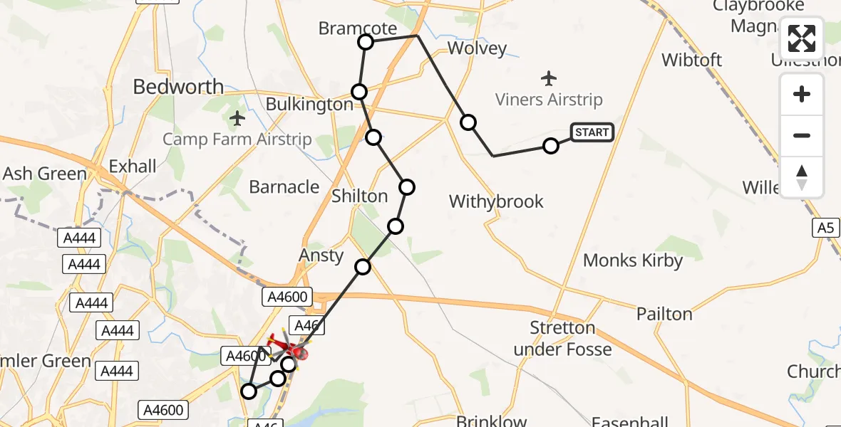
Route
Halls Drive, Coventry16:41
Coventry, Coventry16:40
University Hospital Coventry, Coventry16:40
Coventry, Coventry16:39
Ansty CP, Rugby16:39
Shilton, Rugby16:38
Withybrook CP, Rugby16:38
Wolvey CP, Rugby16:38
Wolvey CP, Nuneaton and Bedworth16:37
RAF Bramcote / HMS Gamecock, Nuneaton, Warwickshire16:37
Wolvey CP, Rugby16:36
Withybrook CP, Rugby16:35
Fosse Way, Rugby16:35
Live flights
Police Helicopter on its way from Bishopbriggs14 Jul 23:03
Air Ambulance Helicopter on its way from Devizes14 Jul 22:59
Police Helicopter on its way from Thames View14 Jul 22:44
Police Helicopter on its way from Brandy Carr14 Jul 22:00
Today
Air Ambulance Helicopter to Cardiff Heliport14 Jul 22:43
Coastguard Helicopter to North Sea14 Jul 22:40
Air Ambulance Helicopter to North Sea14 Jul 22:27
Air Ambulance Helicopter to Priory Farm Airstrip14 Jul 22:16
Air Ambulance Helicopter to Papworth Hospital14 Jul 22:02
Air Ambulance Helicopter to Redhill Aerodrome14 Jul 21:58
Coastguard Helicopter to North Sea14 Jul 21:56
Flights Coventry
Police Helicopter to Birmingham Airport30 Mar 18:47
Police Helicopter to Coventry, Moat Avenue30 Mar 18:32
Air Ambulance Helicopter to Coventry Airport28 Mar 18:31
Helicopter flights on your website?
You can easily display helicopter flights on your own website. Use the embed code.
