Air Ambulance Helicopter to City of Edinburgh, Little France Crescent
Sunday, 22 March 2026 | 13:10 | From Trochry
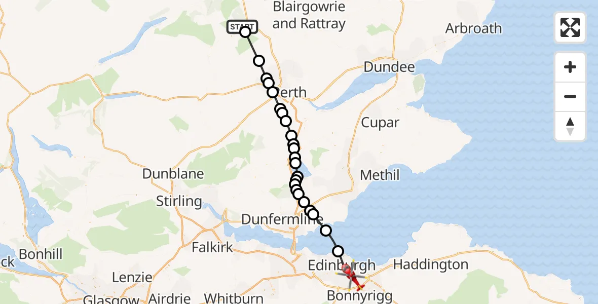
On Sunday, 22 March 2026 at 13:10, a Air Ambulance Helicopter departed from Trochry to City of Edinburgh. It was the Air Ambulance Helicopter with registration number G-GSAS. The flight lasted 23 minutes. During that period, the aircraft travelled 51 miles at an average speed of 136 miles per hour at a maximum altitude of 3525 feet.
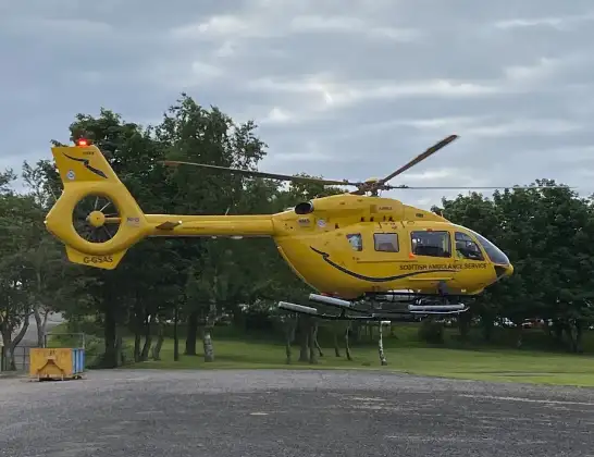
Helicopter: G-GSAS
The helicopter G-GSAS is used as a air ambulance helicopter. The main purpose of this aircraft is to transport a Mobile Medical Team to an incident as quickly as possible, enabling the trauma doctor to provide immediate first aid on site. The aircraft is flying this flight as Air Ambulance Helicopter.
Photo: Scanbus
51 miles
3525 feet
136 mph
23 minutes
13:10
13:33

Route
Little France Crescent, City of Edinburgh13:33
City of Edinburgh, City of Edinburgh13:28
North Sea13:27
Aberdour, Aberdour13:25
Crossgates and Mossgreen, Crossgates and Mossgreen13:25
Cowdenbeath, Cowdenbeath13:24
Kelty, Kelty13:23
Keltybridge, Keltybridge13:23
Lochran, Lochran13:23
Fruix, Fruix13:22
Kinross, Kinross13:22
Loch Leven13:21
Kinross, Kinross13:21
Milnathort, Milnathort13:20
Duncrievie, Duncrievie13:20
Glenfarg, Glenfarg13:19
Perth, Perth13:18
Bridge of Earn, Bridge of Earn13:17
Forgandenny, Forgandenny13:17
Perth, Perth13:15
Almondbank, Almondbank13:15
Pitcairngreen, Pitcairngreen13:14
Perth, Perth13:13
Dunkeld, Dunkeld13:11
Trochry, Trochry13:10
Today
Flights Trochry
Helicopter flights on your website?
You can easily display helicopter flights on your own website. Use the embed code.
