Air Ambulance Helicopter to Erlestoke, Lower Road
Sunday, 22 March 2026 | 11:42 | From Wiltshire Air Ambulance
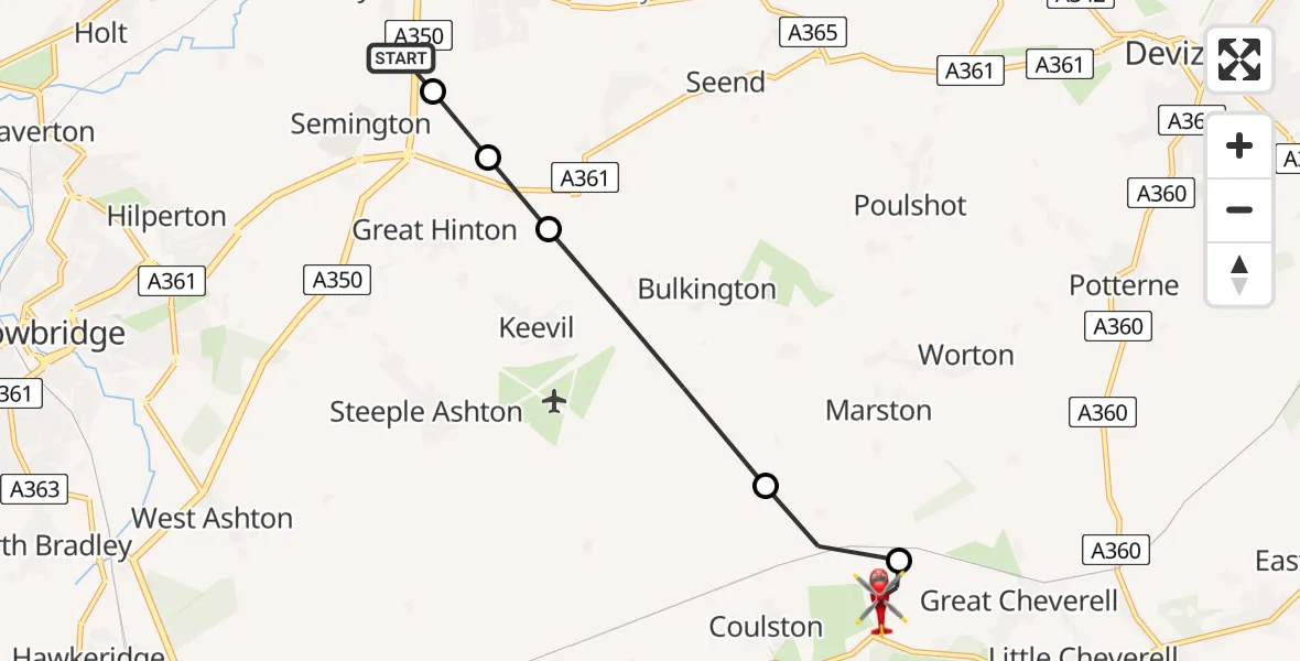
On Sunday, 22 March 2026 at 11:42, a Air Ambulance Helicopter departed from Wiltshire Air Ambulance to Erlestoke. It was the Air Ambulance Helicopter with registration number G-WLTS. The flight lasted 4 minutes. During that period, the aircraft travelled 6 miles at an average speed of 85 miles per hour at a maximum altitude of 825 feet.
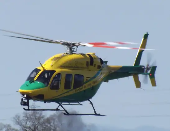
Helicopter: G-WLTS
The helicopter G-WLTS is used as a air ambulance helicopter. The main purpose of this aircraft is to transport a Mobile Medical Team to an incident as quickly as possible, enabling the trauma doctor to provide immediate first aid on site. The aircraft is flying this flight as Air Ambulance Helicopter.
Photo: James
7 miles
825 feet
85 mph
5 minutes
11:42
11:47

Route
Lower Road, Erlestoke11:47
Erlestoke, Erlestoke11:45
Coulston, Coulston11:44
Keevil, Keevil11:43
Great Hinton, Great Hinton11:43
Semington, Semington11:43
Commerce Way, Melksham11:42
Live flights
Today
Flights Erlestoke
Air Ambulance Helicopter to Melksham, A35013 May 21:25
Helicopter flights on your website?
You can easily display helicopter flights on your own website. Use the embed code.
