Air Ambulance Helicopter to Queen Elizabeth Hospital Helipad
Saturday, 21 March 2026 | 16:29 | From Stourport-on-Severn
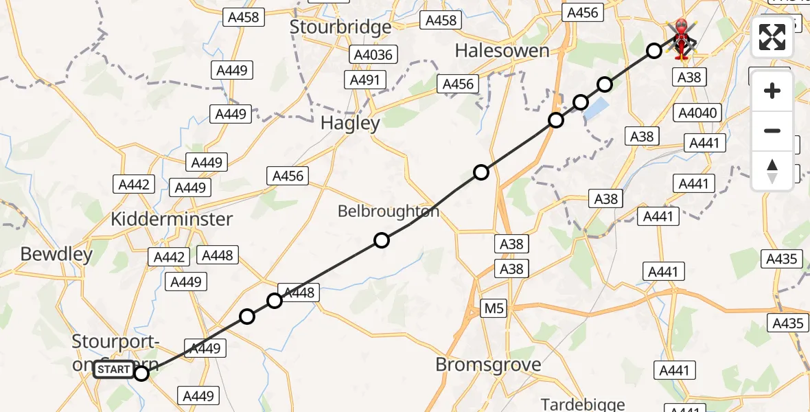
On Saturday, 21 March 2026 at 16:29, a Air Ambulance Helicopter departed from Stourport-on-Severn to Queen Elizabeth Hospital Helipad. It was the Air Ambulance Helicopter with registration number G-RMAA. The flight lasted 10 minutes. During that period, the aircraft travelled 18 miles at an average speed of 106 miles per hour at a maximum altitude of 1375 feet.
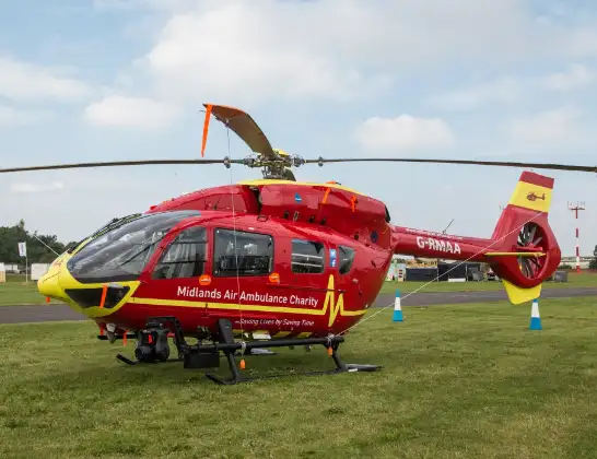
Helicopter: G-RMAA
The helicopter G-RMAA is used as a air ambulance helicopter. The main purpose of this aircraft is to transport a Mobile Medical Team to an incident as quickly as possible, enabling the trauma doctor to provide immediate first aid on site. The aircraft is flying this flight as Air Ambulance Helicopter.
Photo: Steve Lynes
19 miles
1375 feet
106 mph
11 minutes
16:29
16:39

Route
Queen Elizabeth Hospital Helipad, Birmingham16:39
Queen Elizabeth Hospital Helipad, Birmingham16:38
Metchley, Birmingham16:36
Bartley Green, Birmingham16:35
Woodgate, Birmingham16:35
Lapal, Bromsgrove16:35
Bromsgrove, Bromsgrove16:34
Belbroughton CP, Bromsgrove16:32
Chaddesley Corbett, Wyre Forest16:31
Harvington, Wyre Forest16:31
Hartlebury, Wychavon16:29
Harold Davies Drive, Wyre Forest16:29
Live flights
Police Helicopter on its way from Ewelme13 Jul 22:24
Today
Police Helicopter to Bournemouth Airport13 Jul 23:55
Air Ambulance Helicopter to Cardiff Heliport13 Jul 23:38
Police Helicopter to Birmingham Airport13 Jul 23:21
Police Helicopter to Irlam, Twelve Yards Road13 Jul 23:00
Flights Stourport-on-Severn
Air Ambulance Helicopter to Tong, Neachley Lane27 May 12:00
Police Helicopter to Solihull, Centro Way16 May 16:14
Helicopter flights on your website?
You can easily display helicopter flights on your own website. Use the embed code.
