Air Ambulance Helicopter to Westcott, McPherson's Mount
Friday, 20 March 2026 | 20:43 | From Westcott
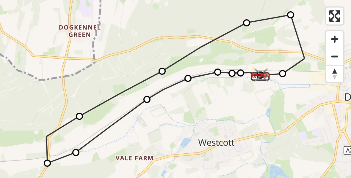
On Friday, 20 March 2026 at 20:43, a Air Ambulance Helicopter departed from Westcott to Westcott. It was the Air Ambulance Helicopter with registration number G-KSSC. The flight lasted 9 minutes. During that period, the aircraft travelled 7 miles at an average speed of 45 miles per hour at a maximum altitude of 1050 feet.
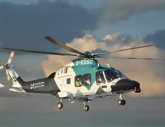
Helicopter: G-KSSC
The helicopter G-KSSC is used as a air ambulance helicopter. The main purpose of this aircraft is to transport a Mobile Medical Team to an incident as quickly as possible, enabling the trauma doctor to provide immediate first aid on site. The aircraft is flying this flight as Air Ambulance Helicopter.
Photo: Shona aakss
7 miles
1050 feet
45 mph
10 minutes
20:43
20:52

Route
Westcott, Mole Valley20:52
McPherson's Mount, Mole Valley20:52
McPherson's Mount, Mole Valley20:51
Westcott, Mole Valley20:50
Mole Valley, Mole Valley20:49
Westcott, Mole Valley20:49
Mole Valley, Mole Valley20:49
Westcott, Mole Valley20:48
Mole Valley, Mole Valley20:48
Abinger Hammer, Mole Valley20:47
Mole Valley, Mole Valley20:47
Westcott, Mole Valley20:46
Mole Valley, Mole Valley20:45
Ranmore Common Road, Mole Valley20:45
Dorking, Mole Valley20:44
Westcott, Mole Valley20:44
Dorking, Mole Valley20:44
Westcott, Mole Valley20:43
Live flights
Air Ambulance Helicopter on its way from Ashford14 Jul 23:46
Coastguard Helicopter on its way from North Sea14 Jul 23:44
Today
Police Helicopter to Johnstone, Gordon Square14 Jul 23:38
Coastguard Helicopter to North Sea14 Jul 23:30
Police Helicopter to Inner Seas14 Jul 23:12
Air Ambulance Helicopter to Norwich Airport14 Jul 22:52
Police Helicopter to Manchester Barton Aerodrome14 Jul 22:50
Police Helicopter to Sewardstonebury, Bury Road14 Jul 22:44
Air Ambulance Helicopter to Cardiff Heliport14 Jul 22:43
Flights Westcott
Air Ambulance Helicopter to Redhill Aerodrome21 Jun 22:31
Air Ambulance Helicopter to Redhill Aerodrome20 Mar 20:57
Helicopter flights on your website?
You can easily display helicopter flights on your own website. Use the embed code.
