Air Ambulance Helicopter to Britford, High Road
Friday, 20 March 2026 | 16:03 | From Amesbury
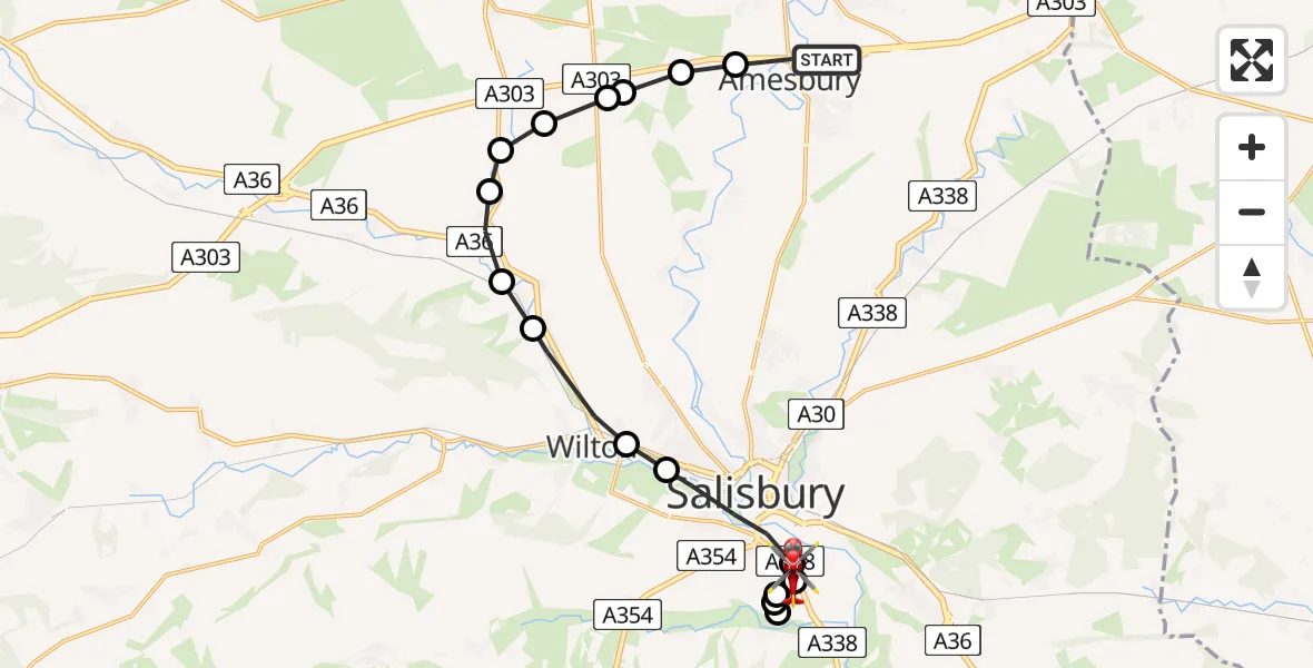
On Friday, 20 March 2026 at 16:03, a Air Ambulance Helicopter departed from Amesbury to Britford. It was the Air Ambulance Helicopter with registration number G-WLTS. The flight lasted 10 minutes. During that period, the aircraft travelled 17 miles at an average speed of 102 miles per hour at a maximum altitude of 650 feet.
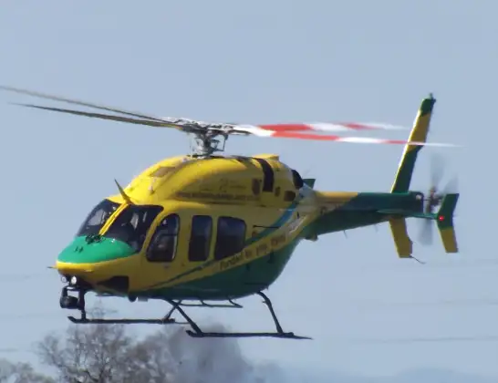
Helicopter: G-WLTS
The helicopter G-WLTS is used as a air ambulance helicopter. The main purpose of this aircraft is to transport a Mobile Medical Team to an incident as quickly as possible, enabling the trauma doctor to provide immediate first aid on site. The aircraft is flying this flight as Air Ambulance Helicopter.
Photo: James
18 miles
650 feet
102 mph
11 minutes
16:03
16:13

Route
High Road, Britford16:13
Salisbury District Hospital, Salisbury16:12
Salisbury District Hospital, Salisbury16:12
Britford, Britford16:11
Odstock, Odstock16:11
Salisbury, Salisbury16:11
Britford, Britford16:10
Salisbury, Salisbury16:09
Quidhampton, Quidhampton16:09
Wilton, Wilton16:08
Great Wishford, Great Wishford16:07
Stapleford, Stapleford16:07
Berwick St James, Berwick St James16:06
Berwick St. James, Berwick St. James16:06
Winterbourne Stoke, Winterbourne Stoke16:06
Wilsford cum Lake, Wilsford cum Lake16:06
Amesbury, Amesbury16:05
West Amesbury, West Amesbury16:05
A303, Amesbury16:03
Amesbury, Amesbury16:03
Live flights
Today
Flights Britford
Air Ambulance Helicopter to Britford, High Road20 Mar 16:03
Flights Amesbury
Air Ambulance Helicopter to Amesbury30 Jun 16:53
Air Ambulance Helicopter to Britford, High Road20 Mar 16:03
Helicopter flights on your website?
You can easily display helicopter flights on your own website. Use the embed code.
