Air Ambulance Helicopter to Winscombe, Sandford Road
Friday, 20 March 2026 | 7:28 | From Almondsbury Helicopter Base
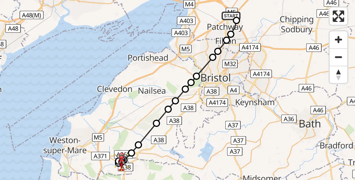
On Friday, 20 March 2026 at 7:28, a Air Ambulance Helicopter departed from Almondsbury Helicopter Base to Winscombe. It was the Air Ambulance Helicopter with registration number G-GWAC. The flight lasted 14 minutes. During that period, the aircraft travelled 23 miles at an average speed of 102 miles per hour at a maximum altitude of 1250 feet.
Helicopter: G-GWAC
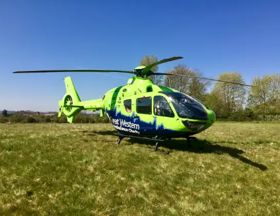
The helicopter G-GWAC is used as a air ambulance helicopter. The main purpose of this aircraft is to transport a Mobile Medical Team to an incident as quickly as possible, enabling the trauma doctor to provide immediate first aid on site. The aircraft is flying this flight as Air Ambulance Helicopter.
Photo: Mojo0306
24 miles
1250 feet
102 mph
14 minutes
07:28
07:42

Route
Winscombe, Winscombe07:42
Sandford Road, Winscombe07:39
Ilex Lane, Banwell07:38
Winscombe, Winscombe07:38
Banwell, Banwell07:37
Winscombe, Winscombe07:37
Churchill, Churchill07:36
Langford, Langford07:36
Wrington, Wrington07:35
Backwell, Backwell07:34
Flax Bourton, Flax Bourton07:33
Long Ashton, Long Ashton07:33
Leigh Woods, Leigh Woods07:32
Abbots Leigh, Abbots Leigh07:32
Bristol, West of England07:31
Southmead Hospital, Bristol07:31
Bristol, West of England07:30
Stoke Gifford, West of England07:30
Trench Lane, West of England07:29
Almondsbury Helicopter Base, Bristol, Somerset07:28
Today
Flights Winscombe
Helicopter flights on your website?
You can easily display helicopter flights on your own website. Use the embed code.
