Air Ambulance Helicopter to Shenstone, Swifen Lane
Thursday, 19 March 2026 | 12:13 | From South Staffordshire
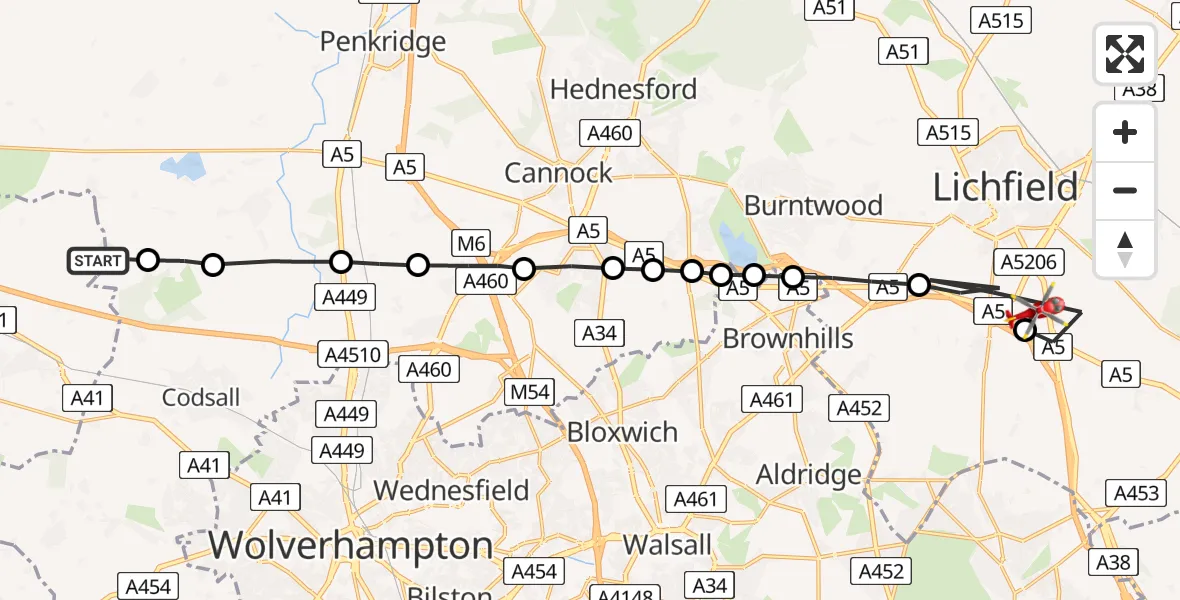
On Thursday, 19 March 2026 at 12:13, a Air Ambulance Helicopter departed from South Staffordshire to Shenstone. It was the Air Ambulance Helicopter with registration number G-SCAA. The flight lasted 10 minutes. During that period, the aircraft travelled 23 miles at an average speed of 148 miles per hour at a maximum altitude of 850 feet.
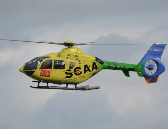
Helicopter: G-SCAA
The helicopter G-SCAA is used as a air ambulance helicopter. The main purpose of this aircraft is to transport a Mobile Medical Team to an incident as quickly as possible, enabling the trauma doctor to provide immediate first aid on site. The aircraft is flying this flight as Air Ambulance Helicopter.
Photo: Jonathan Payne
24 miles
850 feet
148 mph
10 minutes
12:13
12:22

Route
Swifen Lane, Lichfield12:22
Shenstone, Lichfield12:22
Lichfield, Lichfield12:20
Hammerwich, Lichfield12:19
Brownhills West, Burntwood12:18
Brownhills West, Walsall12:18
Cannock Chase, Cannock Chase12:18
Norton Canes, Cannock Chase12:17
Great Wyrley, South Staffordshire12:17
Cheslyn Hay, South Staffordshire12:16
Shareshill, South Staffordshire12:15
Coven, South Staffordshire12:15
Brewood, South Staffordshire12:14
South Staffordshire, South Staffordshire12:13
Shackerley Lane, South Staffordshire12:13
Live flights
Police Helicopter on its way from Glasgow5 Jul 23:05
Today
Air Ambulance Helicopter to North Sea5 Jul 22:14
Police Helicopter to Solihull, Centro Way5 Jul 22:09
Police Helicopter to Hawarden Airport5 Jul 21:47
Air Ambulance Aircraft to North Sea5 Jul 21:33
Police Helicopter to Caergwrle, Stryt Isa5 Jul 21:25
Police Helicopter to Rockbeare, Silver Lane5 Jul 20:57
Flights Shenstone
Helicopter flights on your website?
You can easily display helicopter flights on your own website. Use the embed code.
