Air Ambulance Helicopter to Thornbury, Badger Road
Thursday, 19 March 2026 | 10:04 | From Southmead Hospital
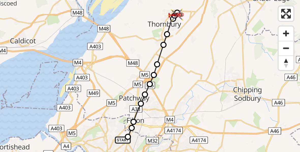
On Thursday, 19 March 2026 at 10:04, a Air Ambulance Helicopter departed from Southmead Hospital to Thornbury. It was the Air Ambulance Helicopter with registration number G-GWAC. The flight lasted 6 minutes. During that period, the aircraft travelled 11 miles at an average speed of 106 miles per hour at a maximum altitude of 825 feet.
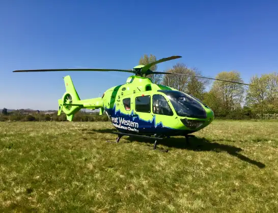
Helicopter: G-GWAC
The helicopter G-GWAC is used as a air ambulance helicopter. The main purpose of this aircraft is to transport a Mobile Medical Team to an incident as quickly as possible, enabling the trauma doctor to provide immediate first aid on site. The aircraft is flying this flight as Air Ambulance Helicopter.
Photo: Mojo0306
11 miles
825 feet
106 mph
7 minutes
10:04
10:10

Route
Badger Road, West of England10:10
Milbury Heath, Thornbury10:10
Thornbury, West of England10:09
Milbury Heath, Thornbury10:09
Thornbury, West of England10:08
Alveston, West of England10:08
Rudgeway, West of England10:07
Hortham, West of England10:07
Woodlands, West of England10:07
Bristol, West of England10:06
Stoke Gifford, West of England10:06
Filton, West of England10:05
Bristol, West of England10:05
Marg's Way, West of England10:05
Southmead Hospital, Bristol10:04
Live flights
Today
Flights Thornbury
Helicopter flights on your website?
You can easily display helicopter flights on your own website. Use the embed code.
