Air Ambulance Helicopter to Achnasheen, Old Military Road
Wednesday, 18 March 2026 | 16:55 | From Inverness
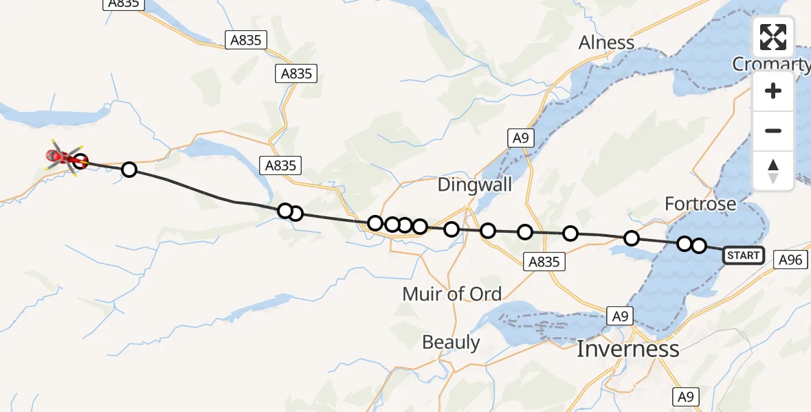
On Wednesday, 18 March 2026 at 16:55, a Air Ambulance Helicopter departed from Inverness to Achnasheen. It was the Air Ambulance Helicopter with registration number G-GSAS. The flight lasted 16 minutes. During that period, the aircraft travelled 34 miles at an average speed of 125 miles per hour at a maximum altitude of 1525 feet.
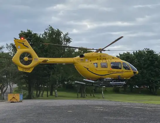
Helicopter: G-GSAS
The helicopter G-GSAS is used as a air ambulance helicopter. The main purpose of this aircraft is to transport a Mobile Medical Team to an incident as quickly as possible, enabling the trauma doctor to provide immediate first aid on site. The aircraft is flying this flight as Air Ambulance Helicopter.
Photo: Scanbus
34 miles
1525 feet
125 mph
17 minutes
16:55
17:11

Route
17:11
Achnasheen, Achnasheen17:10
Achanalt, Achanalt17:09
Contin, Contin17:06
Scatwell, Scatwell17:05
Contin, Contin17:03
Strathpeffer, Strathpeffer17:03
Marybank, Marybank17:03
Strathpeffer, Strathpeffer17:02
Maryburgh, Maryburgh17:02
Conon Bridge, Conon Bridge17:01
Inverness, Inverness17:00
Tore, Tore16:59
Munlochy, Munlochy16:57
Avoch, Avoch16:56
Fortrose, Fortrose16:56
Old Military Road, Inverness16:55
Live flights
Today
Police Helicopter to Manchester Barton Aerodrome13 Jul 23:56
Police Helicopter to Bournemouth Airport13 Jul 23:55
Air Ambulance Helicopter to Cardiff Heliport13 Jul 23:38
Police Helicopter to Harborough, Sulby Road13 Jul 23:36
Police Helicopter to Birmingham Airport13 Jul 23:21
Flights Achnasheen
Air Ambulance Helicopter to Achnasheen18 Jun 21:18
Coastguard Helicopter to Achnasheen19 Apr 16:25
Coastguard Helicopter to Achnasheen19 Apr 16:04
Flights Inverness
Air Ambulance Helicopter to Inverness13 Jul 17:28
Coastguard Helicopter to Inverness Airport13 Jul 15:18
Coastguard Helicopter to Coire Sgreamhach12 Jul 17:55
Helicopter flights on your website?
You can easily display helicopter flights on your own website. Use the embed code.
