Air Ambulance Helicopter to Kingussie, Dalcross Drive
Monday, 16 March 2026 | 23:59 | From Dalcross
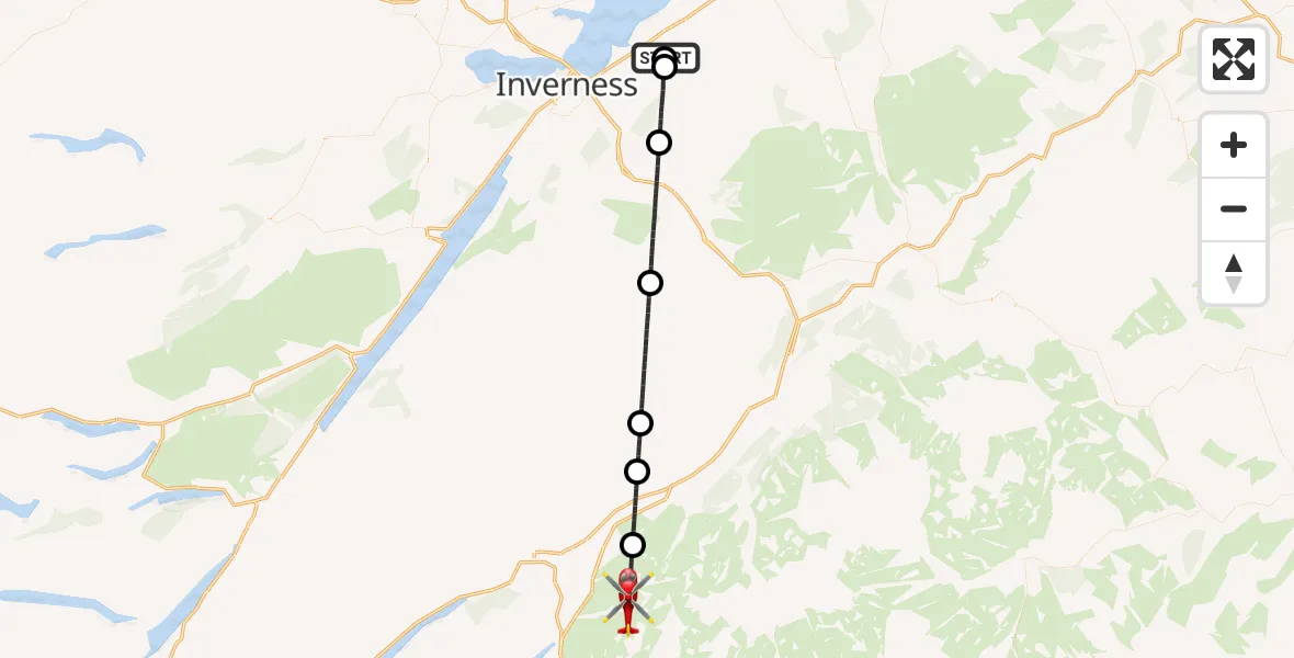
On Monday, 16 March 2026 at 23:59, a Air Ambulance Helicopter departed from Dalcross to Kingussie. It was the Air Ambulance Helicopter with registration number G-ISAS. The flight lasted 21 minutes. During that period, the aircraft travelled 37 miles at an average speed of 106 miles per hour at a maximum altitude of 6475 feet.
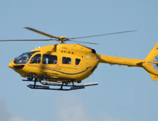
Helicopter: G-ISAS
The helicopter G-ISAS is used as a air ambulance helicopter. The main purpose of this aircraft is to transport a Mobile Medical Team to an incident as quickly as possible, enabling the trauma doctor to provide immediate first aid on site. The aircraft is flying this flight as Air Ambulance Helicopter.
Photo: Jonathan Payne
38 miles
6475 feet
106 mph
22 minutes
23:59
00:20

Route
00:20
Kingussie, Kingussie00:18
Newtonmore, Newtonmore00:15
Kingussie, Kingussie00:14
Laggan, Laggan00:09
Moy, Moy00:03
Newlands of Culloden, Newlands of Culloden00:00
Tornagrain, Tornagrain23:59
Dalcross Drive, Dalcross23:59
Today
Flights Kingussie
Flights Dalcross
Air Ambulance Helicopter to Dalcross22 Apr 12:12
Helicopter flights on your website?
You can easily display helicopter flights on your own website. Use the embed code.
