Air Ambulance Helicopter to Church, M65
Monday, 16 March 2026 | 15:43 | From Blackpool Airport
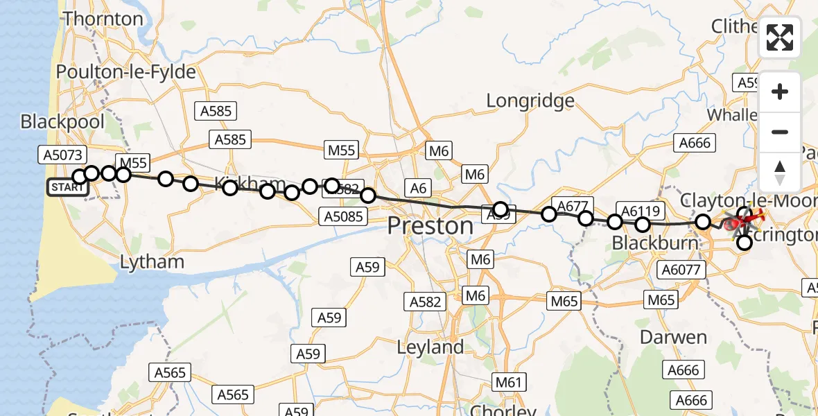
On Monday, 16 March 2026 at 15:43, a Air Ambulance Helicopter departed from Blackpool Airport to Church. It was the Air Ambulance Helicopter with registration number G-NWAA. The flight lasted 13 minutes. During that period, the aircraft travelled 29 miles at an average speed of 133 miles per hour at a maximum altitude of 1350 feet.
Helicopter: G-NWAA
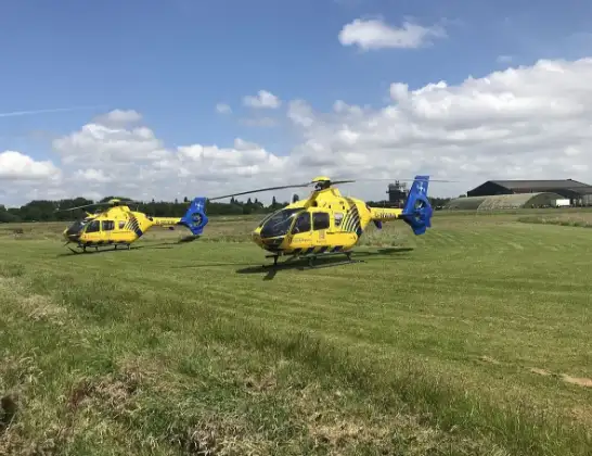
The helicopter G-NWAA is used as a air ambulance helicopter. The main purpose of this aircraft is to transport a Mobile Medical Team to an incident as quickly as possible, enabling the trauma doctor to provide immediate first aid on site. The aircraft is flying this flight as Air Ambulance Helicopter.
Photo: Legion23
30 miles
1350 feet
133 mph
14 minutes
15:43
15:57

Route
M65, Hyndburn15:57
Oswaldtwistle, Hyndburn15:56
Church, Hyndburn15:56
Rishton, Hyndburn15:55
Blackburn, Lancashire15:53
Mellor, Ribble Valley15:53
Mellor Brook, Ribble Valley15:52
South Ribble, South Ribble15:52
Samlesbury, South Ribble15:51
Preston, Preston15:49
Lea Town, Preston15:48
Clifton, Fylde15:48
Newton-with-Scales, Fylde15:47
Treales, Fylde15:47
Wesham, Kirkham15:46
Wrea Green, Fylde15:46
Great Plumpton, Fylde15:45
Fylde, Fylde15:45
Fylde, Lancashire15:44
Common Edge, Lancashire15:44
Hawes Side, Lancashire15:44
The Sanctuary, Lancashire15:43
Live flights
Police Helicopter on its way from Ewelme13 Jul 22:24
Today
Police Helicopter to Bournemouth Airport13 Jul 23:55
Air Ambulance Helicopter to Cardiff Heliport13 Jul 23:38
Police Helicopter to Birmingham Airport13 Jul 23:21
Police Helicopter to Irlam, Twelve Yards Road13 Jul 23:00
Flights Church
Air Ambulance Helicopter to Church, M6516 Mar 15:43
Air Ambulance Helicopter to Church9 Mar 14:03
Helicopter flights on your website?
You can easily display helicopter flights on your own website. Use the embed code.
