Air Ambulance Helicopter to Hill Croome, M5
Monday, 16 March 2026 | 11:13 | From Hereford
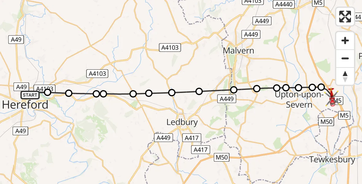
On Monday, 16 March 2026 at 11:13, a Air Ambulance Helicopter departed from Hereford to Hill Croome. It was the Air Ambulance Helicopter with registration number G-OMAA. The flight lasted 10 minutes. During that period, the aircraft travelled 24 miles at an average speed of 151 miles per hour at a maximum altitude of 2075 feet.
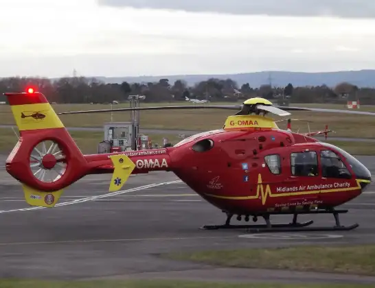
Helicopter: G-OMAA
The helicopter G-OMAA is used as a air ambulance helicopter. The main purpose of this aircraft is to transport a Mobile Medical Team to an incident as quickly as possible, enabling the trauma doctor to provide immediate first aid on site. The aircraft is flying this flight as Air Ambulance Helicopter.
Photo: James from Cheltenham, Gloucestershire
24 miles
2075 feet
151 mph
10 minutes
11:13
11:22

Route
M5, Malvern Hills11:22
Hill Croome, Malvern Hills11:22
Earl's Croome, Malvern Hills11:21
Ripple, Worcester11:21
Hanley Castle, Upton-upon-Severn11:20
Hanley Castle, Malvern Hills11:20
Welland, Malvern Hills11:20
Malvern Wells, Malvern Hills11:19
Colwall Stone, Colwall Stone11:18
Wellington Heath, Wellington Heath11:17
Ledbury, Ledbury11:17
Ashperton, Ashperton11:16
Tarrington, Tarrington11:15
Stoke Edith, Stoke Edith11:15
Bartestree, Bartestree11:14
Lugwardine, Lugwardine11:14
Saint Barnabas Close, Hereford11:13
Live flights
Today
Police Helicopter to Glasgow, South Street6 Jul 23:22
Police Helicopter to South Lanarkshire6 Jul 23:09
Police Helicopter to North Weald Airfield6 Jul 22:57
Police Aircraft to East Midlands Airport6 Jul 22:56
Police Helicopter to Lochhead, A726 Jul 22:39
Flights Hereford
Air Ambulance Helicopter to Hereford, A43826 Apr 10:51
Air Ambulance Helicopter to Hill Croome, M521 Mar 17:28
Air Ambulance Helicopter to Hill Croome, M516 Mar 11:13
Helicopter flights on your website?
You can easily display helicopter flights on your own website. Use the embed code.
