Air Ambulance Helicopter to Ampfield, Straight Mile
Sunday, 15 March 2026 | 15:41 | From Monxton
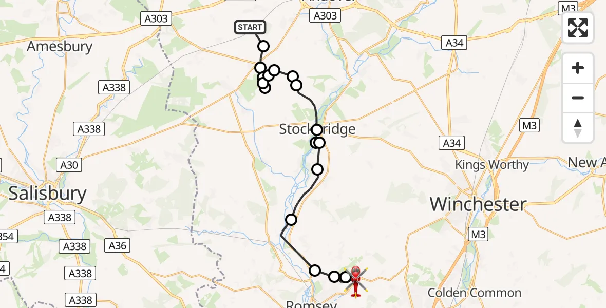
On Sunday, 15 March 2026 at 15:41, a Air Ambulance Helicopter departed from Monxton to Ampfield. It was the Air Ambulance Helicopter with registration number G-HIOW. The flight lasted 12 minutes. During that period, the aircraft travelled 19 miles at an average speed of 95 miles per hour at a maximum altitude of 1000 feet.
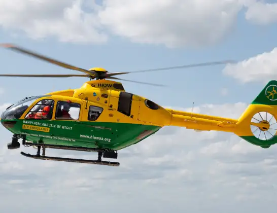
Helicopter: G-HIOW
The helicopter G-HIOW is used as a air ambulance helicopter. The main purpose of this aircraft is to transport a Mobile Medical Team to an incident as quickly as possible, enabling the trauma doctor to provide immediate first aid on site. The aircraft is flying this flight as Air Ambulance Helicopter.
Photo: JF2608
19 miles
1000 feet
95 mph
12 minutes
15:41
15:53

Route
Straight Mile, Test Valley15:53
Braishfield, Test Valley15:53
Crampmoor, Romsey15:52
Timsbury, Romsey15:52
Mottisfont, Test Valley15:50
King's Somborne, Test Valley15:48
Houghton, Stockbridge15:47
King's Somborne, Test Valley15:47
Stockbridge, Test Valley15:47
Longstock, Test Valley15:45
Goodworth Clatford, Test Valley15:45
Upper Clatford, Test Valley15:44
Test Valley, Test Valley15:44
Nether Wallop, Test Valley15:44
Test Valley, Test Valley15:43
Middle Wallop Airfield, Middle Wallop15:43
Test Valley, Test Valley15:43
Abbotts Ann, Test Valley15:42
Hook Lane, Test Valley15:41
Live flights
Flights Ampfield
Flights Monxton
Air Ambulance Helicopter to Hythe, Langdown Road28 Mar 07:24
Air Ambulance Helicopter to Thruxton Aerodrome21 Mar 08:56
Air Ambulance Helicopter to Thruxton Aerodrome18 Mar 10:00
Air Ambulance Helicopter to Monxton, Sarson Lane26 Feb 09:29
Helicopter flights on your website?
You can easily display helicopter flights on your own website. Use the embed code.
