Air Ambulance Helicopter to Ivegill
Sunday, 15 March 2026 | 15:30 | From Matterdale
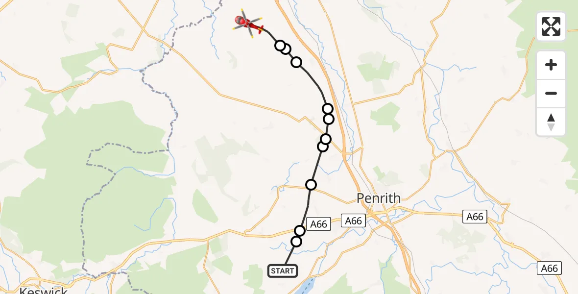
On Sunday, 15 March 2026 at 15:30, a Air Ambulance Helicopter departed from Matterdale to Ivegill. It was the Air Ambulance Helicopter with registration number G-NWAA. The flight lasted 6 minutes. During that period, the aircraft travelled 13 miles at an average speed of 123 miles per hour at a maximum altitude of 1850 feet.
Helicopter: G-NWAA
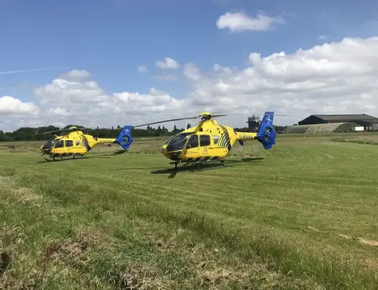
The helicopter G-NWAA is used as a air ambulance helicopter. The main purpose of this aircraft is to transport a Mobile Medical Team to an incident as quickly as possible, enabling the trauma doctor to provide immediate first aid on site. The aircraft is flying this flight as Air Ambulance Helicopter.
Photo: Legion23
14 miles
1850 feet
123 mph
7 minutes
15:30
15:36

Route
Ivegill, Ivegill15:36
Low Braithwaite, Low Braithwaite15:35
Calthwaite, Calthwaite15:35
Hesket, Hesket15:35
Calthwaite, Calthwaite15:33
Plumpton, Plumpton15:33
Catterlen, Catterlen15:32
Little Blencow, Little Blencow15:32
Great Blencow, Great Blencow15:32
Newbiggin, Newbiggin15:31
Dacre, Dacre15:30
Matterdale, Matterdale15:30
Live flights
Today
Police Helicopter to Manchester Barton Aerodrome13 Jul 23:56
Police Helicopter to Bournemouth Airport13 Jul 23:55
Air Ambulance Helicopter to Cardiff Heliport13 Jul 23:38
Police Helicopter to Harborough, Sulby Road13 Jul 23:36
Police Helicopter to Birmingham Airport13 Jul 23:21
Flights Ivegill
Air Ambulance Helicopter to Ivegill15 Mar 15:30
Flights Matterdale
Air Ambulance Helicopter to Edenhall27 Jun 19:32
Air Ambulance Helicopter to Matterdale27 Jun 18:12
Coastguard Helicopter to Watermillock, A59219 Jun 14:53
Air Ambulance Helicopter to Ivegill15 Mar 15:30
Air Ambulance Helicopter to Matterdale11 Mar 11:55
Helicopter flights on your website?
You can easily display helicopter flights on your own website. Use the embed code.
