Air Ambulance Helicopter to Inverness, Raigmore Gardens
Sunday, 15 March 2026 | 9:34 | From Tomatin
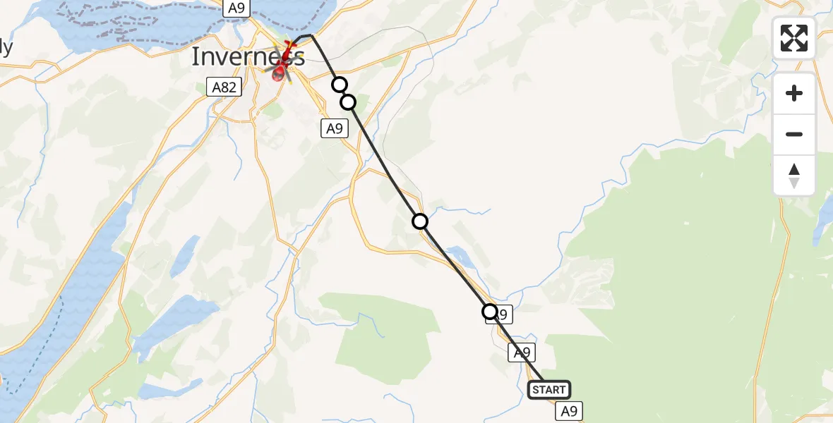
On Sunday, 15 March 2026 at 9:34, a Air Ambulance Helicopter departed from Tomatin to Inverness. It was the Air Ambulance Helicopter with registration number G-GSAS. The flight lasted 8 minutes. During that period, the aircraft travelled 15 miles at an average speed of 119 miles per hour at a maximum altitude of 2750 feet.
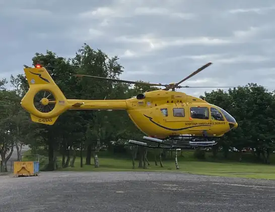
Helicopter: G-GSAS
The helicopter G-GSAS is used as a air ambulance helicopter. The main purpose of this aircraft is to transport a Mobile Medical Team to an incident as quickly as possible, enabling the trauma doctor to provide immediate first aid on site. The aircraft is flying this flight as Air Ambulance Helicopter.
Photo: Scanbus
16 miles
2750 feet
119 mph
8 minutes
09:34
09:42

Route
Raigmore Gardens, Inverness09:42
Inverness, Inverness09:40
Cradlehall and Westhill, Cradlehall and Westhill09:39
Daviot, Daviot09:37
Moy, Moy09:36
General Wade's Military Road, Tomatin09:34
Live flights
Police Helicopter on its way from Ewelme13 Jul 22:24
Today
Police Helicopter to Bournemouth Airport13 Jul 23:55
Air Ambulance Helicopter to Cardiff Heliport13 Jul 23:38
Police Helicopter to Birmingham Airport13 Jul 23:21
Police Helicopter to Irlam, Twelve Yards Road13 Jul 23:00
Flights Inverness
Air Ambulance Helicopter to Inverness13 Jul 17:28
Coastguard Helicopter to Inverness Airport13 Jul 15:18
Coastguard Helicopter to Coire Sgreamhach12 Jul 17:55
Flights Tomatin
Coastguard Helicopter to Tomatin, Wood End7 Jul 13:33
Coastguard Helicopter to Tomatin, A923 May 14:54
Air Ambulance Helicopter to Tomatin15 Mar 08:07
Air Ambulance Helicopter to Tomatin15 Mar 08:07
Air Ambulance Helicopter to Tomatin15 Mar 08:07
Air Ambulance Helicopter to Tomatin15 Mar 08:07
Air Ambulance Helicopter to Tomatin15 Mar 08:07
Air Ambulance Helicopter to Tomatin15 Mar 08:07
Air Ambulance Helicopter to Tomatin15 Mar 08:07
Helicopter flights on your website?
You can easily display helicopter flights on your own website. Use the embed code.
