Air Ambulance Helicopter to Staplehurst, Five Oak Lane
Sunday, 15 March 2026 | 8:34 | From Redhill Aerodrome

On Sunday, 15 March 2026 at 8:34, a Air Ambulance Helicopter departed from Redhill Aerodrome to Staplehurst. It was the Air Ambulance Helicopter with registration number G-LNAC. The flight lasted 14 minutes. During that period, the aircraft travelled 32 miles at an average speed of 136 miles per hour at a maximum altitude of 1125 feet.
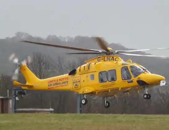
Helicopter: G-LNAC
The helicopter G-LNAC is used as a air ambulance helicopter. The main purpose of this aircraft is to transport a Mobile Medical Team to an incident as quickly as possible, enabling the trauma doctor to provide immediate first aid on site. The aircraft is flying this flight as Air Ambulance Helicopter.
Photo: James from Cheltenham, Gloucestershire
33 miles
1125 feet
136 mph
15 minutes
08:34
08:48

Route
Five Oak Lane, Maidstone08:48
Staplehurst, Maidstone08:45
Marden, Maidstone08:44
Maidstone, Maidstone08:44
Collier Street, Maidstone08:44
Paddock Wood, Tunbridge Wells08:43
Whetsted, Paddock Wood08:42
Capel, Tunbridge Wells08:41
Tonbridge, Tonbridge and Malling08:40
Leigh, Sevenoaks08:40
Chiddingstone Causeway, Sevenoaks08:39
Sevenoaks, Sevenoaks08:38
Hever, Sevenoaks08:38
Edenbridge, Edenbridge08:37
Tandridge, Tandridge08:37
Homefield Farm / Edenbridge Airstrip08:36
Crowhurst, Crowhurst08:36
Blindley Heath, Blindley Heath08:36
South Godstone, South Godstone08:36
Blindley Heath, Blindley Heath08:35
Tandridge, Tandridge08:35
South Nutfield, South Nutfield08:34
Redhill Aerodrome, Redhill, Surrey08:34
Live flights
Today
Flights Staplehurst
Helicopter flights on your website?
You can easily display helicopter flights on your own website. Use the embed code.
