Air Ambulance Helicopter to Wilmington, Cranford Road
Friday, 13 March 2026 | 21:38 | From Snodland
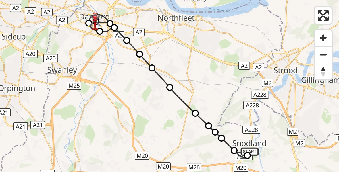
On Friday, 13 March 2026 at 21:38, a Air Ambulance Helicopter departed from Snodland to Wilmington. It was the Air Ambulance Helicopter with registration number G-KSSC. The flight lasted 15 minutes. During that period, the aircraft travelled 17 miles at an average speed of 72 miles per hour at a maximum altitude of 1775 feet.
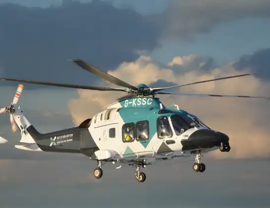
Helicopter: G-KSSC
The helicopter G-KSSC is used as a air ambulance helicopter. The main purpose of this aircraft is to transport a Mobile Medical Team to an incident as quickly as possible, enabling the trauma doctor to provide immediate first aid on site. The aircraft is flying this flight as Air Ambulance Helicopter.
Photo: Shona aakss
18 miles
1775 feet
72 mph
15 minutes
21:38
21:53

Route
Wilmington, Dartford21:53
Cranford Road, Dartford21:53
Cranford Road, Dartford21:51
Wilmington, Dartford21:50
Dartford, Dartford21:49
Hawley, Dartford21:48
Wilmington, Dartford21:47
Dartford, Dartford21:46
Darenth, Dartford21:45
Green Street Green, Dartford21:45
Longfield, Dartford21:44
Hartley, Sevenoaks21:44
Meopham, Gravesham21:43
Gravesham, Gravesham21:42
Tonbridge and Malling, Tonbridge and Malling21:42
Snodland, Tonbridge and Malling21:41
Birling, Tonbridge and Malling21:41
Ham Hill, Tonbridge and Malling21:40
Coombe Close, Tonbridge and Malling21:38
Live flights
Police Helicopter on its way from RAF Benson12 Jul 22:54
Police Helicopter on its way from Dundrod12 Jul 22:50
Today
Air Ambulance Helicopter to Glasgow Airport12 Jul 22:48
Police Helicopter to Walton Wood Airfield12 Jul 22:44
Air Ambulance Helicopter to Norwich Airport12 Jul 22:27
Air Ambulance Helicopter to Northrepps Aerodrome12 Jul 22:23
Flights Wilmington
Flights Snodland
Helicopter flights on your website?
You can easily display helicopter flights on your own website. Use the embed code.
