Police Helicopter to South Nutfield, Coopers Hill Road
Friday, 13 March 2026 | 11:43 | From Bletchingley
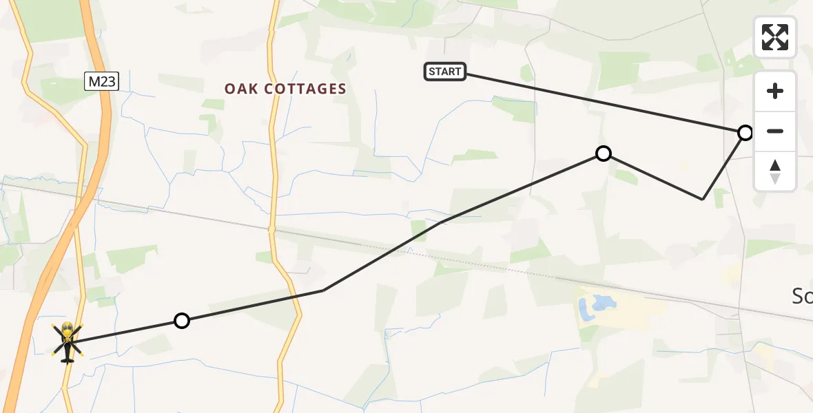
On Friday, 13 March 2026 at 11:43, a Police Helicopter departed from Bletchingley to South Nutfield. It was the Police Helicopter with registration number G-POLH. The flight lasted 3 minutes. During that period, the aircraft travelled 4 miles at an average speed of 71 miles per hour at a maximum altitude of 1200 feet.
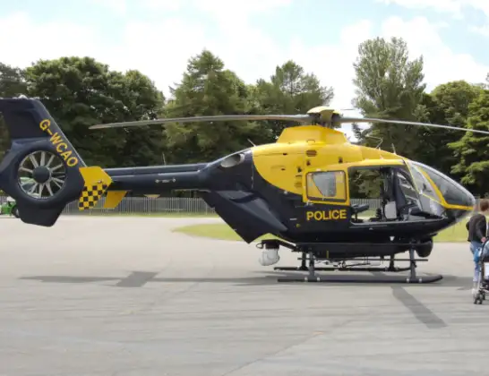
Helicopter: G-POLH
The helicopter G-POLH is used by the British police. The helicopter is deployed in pursuits, missing persons cases and other incidents where a helicopter provides added value.
Photo: Arpingstone
5 miles
1200 feet
71 mph
4 minutes
11:43
11:47

Route
Coopers Hill Road, South Nutfield11:47
South Nutfield, South Nutfield11:46
Tandridge, Tandridge11:45
South Godstone, South Godstone11:45
Coldharbour Lane, Bletchingley11:43
Today
Flights Bletchingley
Police Helicopter to Tandridge, Moats Lane15 May 14:10
Helicopter flights on your website?
You can easily display helicopter flights on your own website. Use the embed code.
