Air Ambulance Helicopter to Norwich Airport
Thursday, 12 March 2026 | 23:54 | From Barnham
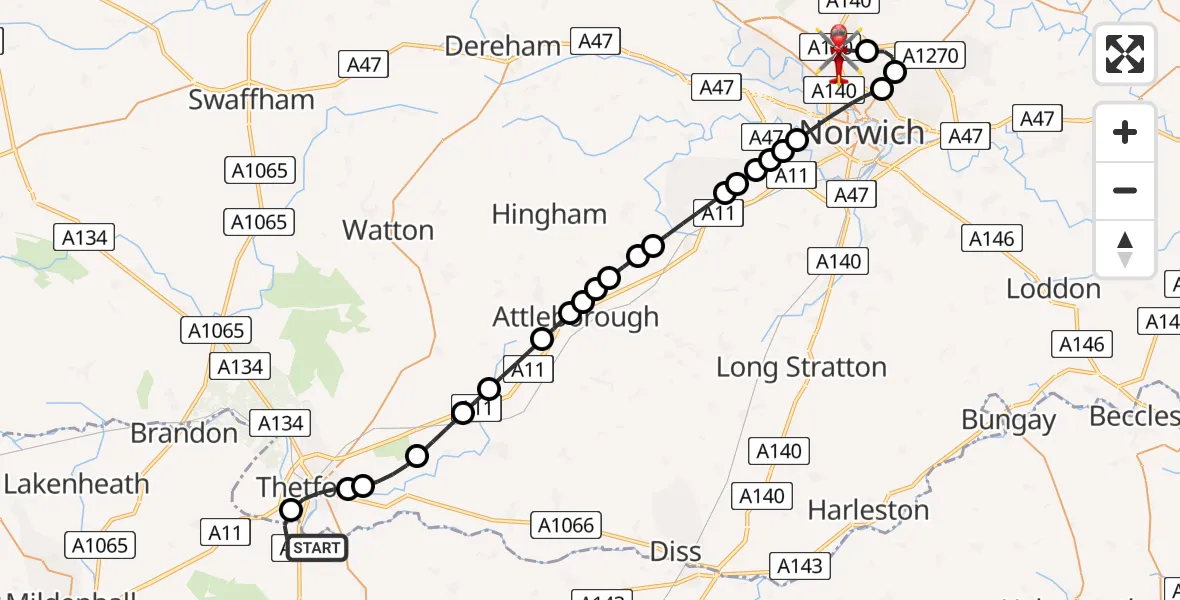
On Thursday, 12 March 2026 at 23:54, a Air Ambulance Helicopter departed from Barnham to Norwich Airport. It was the Air Ambulance Helicopter with registration number G-HEMC. The flight lasted 17 minutes. During that period, the aircraft travelled 37 miles at an average speed of 129 miles per hour at a maximum altitude of 1675 feet.
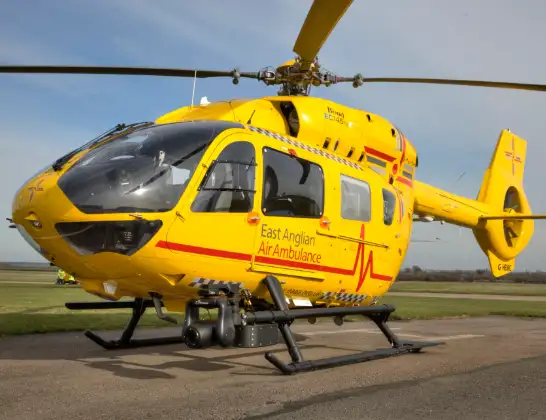
Helicopter: G-HEMC
The helicopter G-HEMC is used as a air ambulance helicopter. The main purpose of this aircraft is to transport a Mobile Medical Team to an incident as quickly as possible, enabling the trauma doctor to provide immediate first aid on site. The aircraft is flying this flight as Air Ambulance Helicopter.
Photo: Jsmauger
38 miles
1675 feet
129 mph
18 minutes
23:54
00:12

Route
Norwich Airport, Norwich, Norfolk00:12
Norwich Airport, Norwich, Norfolk00:12
Norwich Airport, Norwich, Norfolk00:08
Beeston St Andrew, Broadland00:07
Broadland, Broadland00:07
Norwich, Norwich00:05
Colney, South Norfolk00:05
Little Melton, South Norfolk00:05
Hethersett, South Norfolk00:05
Hethersett, Norwich00:04
Hethersett, South Norfolk00:04
Wymondham, South Norfolk00:03
Morley St Botolph, South Norfolk00:03
Morley St Peter, South Norfolk00:02
Attleborough, Breckland00:02
Besthorpe, Attleborough00:02
Attleborough, Breckland00:01
Breckland, Breckland00:01
Snetterton, Breckland00:00
Breckland, Breckland23:59
Bridgham, Breckland23:58
Breckland, Breckland23:57
Rushford, Breckland23:57
Thetford, Breckland23:56
Ellington Road, West Suffolk23:54
Live flights
Today
Flights Barnham
Air Ambulance Helicopter to Norwich Airport12 Mar 23:54
Helicopter flights on your website?
You can easily display helicopter flights on your own website. Use the embed code.
