Air Ambulance Helicopter to Newhall, Marble Drive
Thursday, 12 March 2026 | 13:14 | From Willoughby on the Wolds
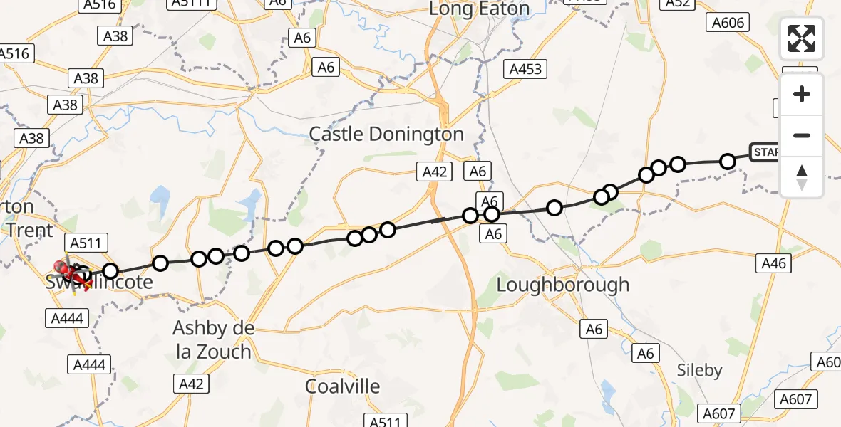
On Thursday, 12 March 2026 at 13:14, a Air Ambulance Helicopter departed from Willoughby on the Wolds to Newhall. It was the Air Ambulance Helicopter with registration number G-DRLA. The flight lasted 12 minutes. During that period, the aircraft travelled 26 miles at an average speed of 131 miles per hour at a maximum altitude of 1525 feet.
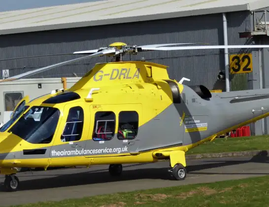
Helicopter: G-DRLA
The helicopter G-DRLA is used as an ambulance helicopter. The helicopter is equipped with a stretcher for transporting patients. The helicopter is often used to transport to hospitals.
Photo: Alec Wilson
27 miles
1525 feet
131 mph
13 minutes
13:14
13:27

Route
Marble Drive, South Derbyshire13:27
Newhall, South Derbyshire13:26
Swadlincote, South Derbyshire13:25
Newhall, South Derbyshire13:25
Swadlincote, South Derbyshire13:24
Hartshorne, Swadlincote13:23
Smisby, South Derbyshire13:23
Ticknall CP, South Derbyshire13:22
Lount, North West Leicestershire13:22
North West Leicestershire, North West Leicestershire13:21
Worthington, North West Leicestershire13:21
Breedon on the Hill, North West Leicestershire13:20
Belton, North West Leicestershire13:20
North West Leicestershire, North West Leicestershire13:20
Long Whatton, North West Leicestershire13:19
Hathern, Charnwood13:18
Normanton on Soar, Rushcliffe13:18
Stanford on Soar, Rushcliffe13:17
East Leake, Rushcliffe13:17
Rempstone, Rushcliffe13:16
Costock, Rushcliffe13:16
Rempstone, Rushcliffe13:16
Wysall, Rushcliffe13:15
Mill Lane, Rushcliffe13:14
Live flights
Today
Flights Newhall
Air Ambulance Helicopter to Nottingham Heliport21 Jun 21:31
Air Ambulance Helicopter to Newhall, Sunnyside21 Jun 19:14
Helicopter flights on your website?
You can easily display helicopter flights on your own website. Use the embed code.
