Air Ambulance Helicopter to University Hospital Southampton, Seymour Road
Thursday, 12 March 2026 | 11:00 | From Bransgore
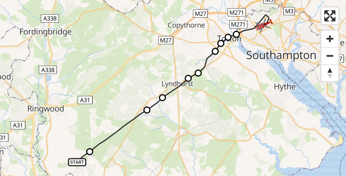
On Thursday, 12 March 2026 at 11:00, a Air Ambulance Helicopter departed from Bransgore to University Hospital Southampton. It was the Air Ambulance Helicopter with registration number G-HIOW. The flight lasted 9 minutes. During that period, the aircraft travelled 18 miles at an average speed of 122 miles per hour at a maximum altitude of 1025 feet.
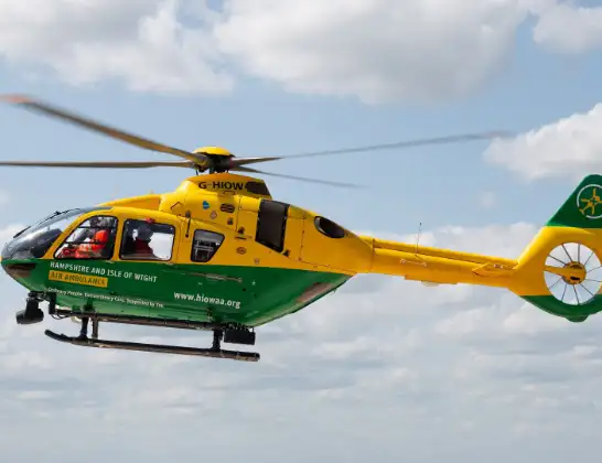
Helicopter: G-HIOW
The helicopter G-HIOW is used as a air ambulance helicopter. The main purpose of this aircraft is to transport a Mobile Medical Team to an incident as quickly as possible, enabling the trauma doctor to provide immediate first aid on site. The aircraft is flying this flight as Air Ambulance Helicopter.
Photo: JF2608
19 miles
1025 feet
122 mph
10 minutes
11:00
11:09

Route
University Hospital Southampton, Southampton11:09
Seymour Road, Southampton11:08
Southampton, Southampton11:06
Eling, Totton11:06
West Totton, Totton11:06
Ashurst, Southampton11:05
Ashurst, New Forest11:04
New Forest, New Forest11:04
Lyndhurst, New Forest11:03
Brockenhurst, New Forest11:02
Burley, New Forest11:00
Braggers Lane, New Forest11:00
Live flights
Today
Flights Bransgore
Air Ambulance Helicopter to Southampton Airport25 May 01:28
Helicopter flights on your website?
You can easily display helicopter flights on your own website. Use the embed code.
