Police Helicopter to South Nutfield, Kings Mill Lane
Monday, 9 March 2026 | 15:28 | From Horsell
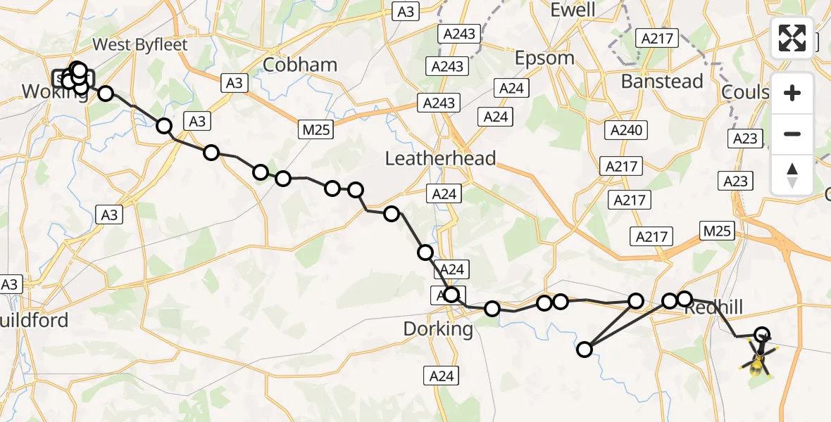
On Monday, 9 March 2026 at 15:28, a Police Helicopter departed from Horsell to South Nutfield. It was the Police Helicopter with registration number G-POLH. The flight lasted 23 minutes. During that period, the aircraft travelled 36 miles at an average speed of 94 miles per hour at a maximum altitude of 900 feet.
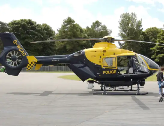
Helicopter: G-POLH
The helicopter G-POLH is used by the British police. The helicopter is deployed in pursuits, missing persons cases and other incidents where a helicopter provides added value.
Photo: Arpingstone
36 miles
900 feet
94 mph
23 minutes
15:28
15:51

Route
Kings Mill Lane, South Nutfield15:51
South Nutfield, South Nutfield15:50
Redhill, Reigate and Banstead15:49
Reigate, Reigate and Banstead15:49
Reigate and Banstead, Reigate and Banstead15:49
Reigate, Reigate and Banstead15:49
Buckland, Mole Valley15:48
Betchworth, Mole Valley15:48
Brockham, Mole Valley15:47
Pixham, Mole Valley15:46
Westhumble, Mole Valley15:46
Hawk's Hill, Mole Valley15:45
Great Bookham, Mole Valley15:45
Little Bookham, Mole Valley15:45
Effingham, Guildford15:44
East Horsley, Guildford15:44
Ockham, Guildford15:43
Ripley, Guildford15:43
Pyrford, Woking15:42
Woking, Woking15:39
Horsell, Woking15:39
Woking, Woking15:30
Horsell, Woking15:30
Woking, Woking15:30
Horsell, Woking15:29
Woking, Woking15:28
Old Woking, Woking15:28
Walton Road, Woking15:28
Live flights
Today
Flights Horsell
Police Helicopter to Horsell, Walton Road9 Mar 14:18
Helicopter flights on your website?
You can easily display helicopter flights on your own website. Use the embed code.
