Air Ambulance Helicopter to Tighnabruaich, B8000
Monday, 9 March 2026 | 14:27 | From Glasgow Airport
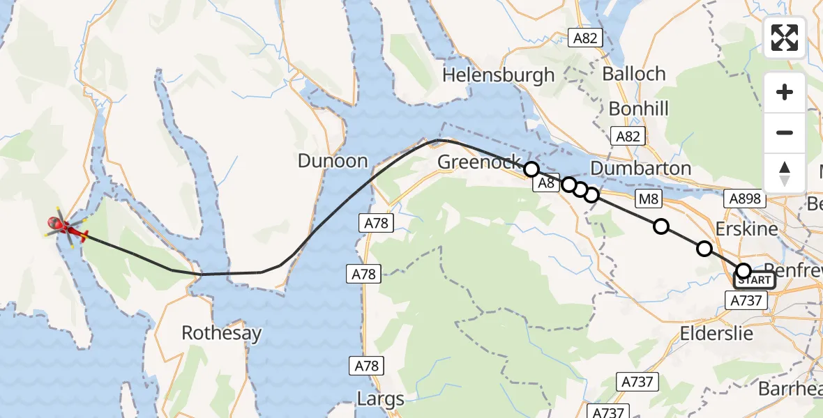
On Monday, 9 March 2026 at 14:27, a Air Ambulance Helicopter departed from Glasgow Airport to Tighnabruaich. It was the Air Ambulance Helicopter with registration number G-ISAS. The flight lasted 16 minutes. During that period, the aircraft travelled 34 miles at an average speed of 130 miles per hour at a maximum altitude of 1425 feet.
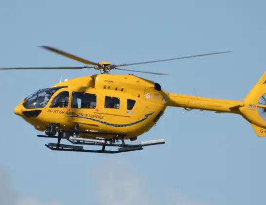
Helicopter: G-ISAS
The helicopter G-ISAS is used as a air ambulance helicopter. The main purpose of this aircraft is to transport a Mobile Medical Team to an incident as quickly as possible, enabling the trauma doctor to provide immediate first aid on site. The aircraft is flying this flight as Air Ambulance Helicopter.
Photo: Jonathan Payne
35 miles
1425 feet
130 mph
16 minutes
14:27
14:43

Route
B8000, Tighnabruaich14:43
Inner Seas14:32
Port Glasgow, Port Glasgow14:31
Park Farm, Park Farm14:31
Port Glasgow, Port Glasgow14:31
Langbank, Langbank14:29
Bishopton, Bishopton14:28
Houston Road, Erskine14:28
Erskine, Erskine14:27
Glasgow Airport, Glasgow14:27
Live flights
Today
Flights Tighnabruaich
Helicopter flights on your website?
You can easily display helicopter flights on your own website. Use the embed code.
