Air Ambulance Helicopter to Bethesda, Abercaseg Road
Monday, 9 March 2026 | 10:06 | From Caernarfon Airport
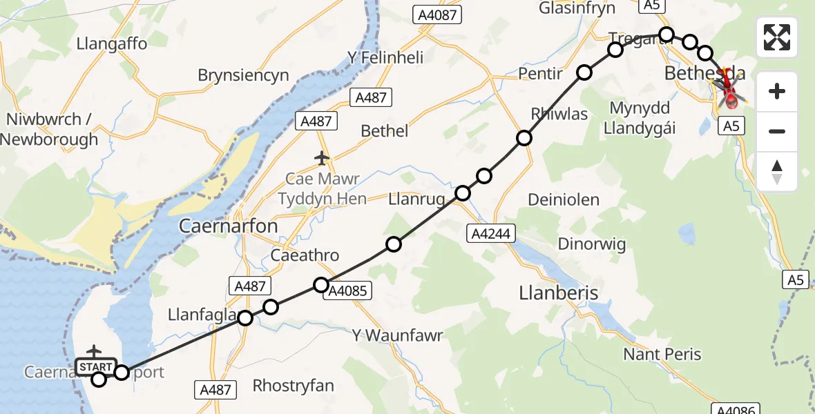
On Monday, 9 March 2026 at 10:06, a Air Ambulance Helicopter departed from Caernarfon Airport to Bethesda. It was the Air Ambulance Helicopter with registration number G-WOBR. The flight lasted 10 minutes. During that period, the aircraft travelled 15 miles at an average speed of 92 miles per hour at a maximum altitude of 900 feet.
Helicopter: G-WOBR
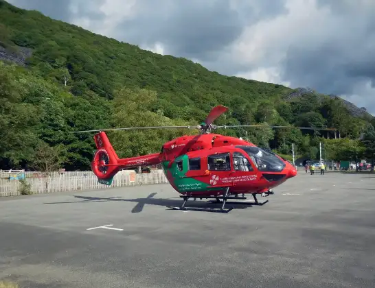
The helicopter G-WOBR is used as a air ambulance helicopter. The main purpose of this aircraft is to transport a Mobile Medical Team to an incident as quickly as possible, enabling the trauma doctor to provide immediate first aid on site. The aircraft is flying this flight as Air Ambulance Helicopter.
Photo: Hefin Owen
16 miles
900 feet
92 mph
11 minutes
10:06
10:16

Route
Abercaseg Road, Bethesda10:16
Bethesda, Bethesda10:14
Rachub, Rachub10:14
Bethesda, Bethesda10:14
Tregarth, Tregarth10:13
Pentir, Pentir10:13
Rhiwlas, Rhiwlas10:12
Penisarwaun, Penisarwaun10:12
Cwm-y-glo, Cwm-y-glo10:11
Llanrug, Llanrug10:11
Caeathro, Caeathro10:10
Bontnewydd, Bontnewydd10:09
Llanfaglan, Caernarfon10:09
Pant Road, Llanfaglan10:08
Dinas Dinlle, Dinas Dinlle10:08
Caernarfon Airport, Caernarfon10:06
Live flights
Today
Police Helicopter to Manchester Barton Aerodrome13 Jul 23:56
Police Helicopter to Bournemouth Airport13 Jul 23:55
Air Ambulance Helicopter to Cardiff Heliport13 Jul 23:38
Police Helicopter to Harborough, Sulby Road13 Jul 23:36
Police Helicopter to Birmingham Airport13 Jul 23:21
Flights Bethesda
Coastguard Helicopter to Llandygai, A526 Jun 08:44
Coastguard Helicopter to Bethesda19 Feb 23:01
Helicopter flights on your website?
You can easily display helicopter flights on your own website. Use the embed code.
