Air Ambulance Helicopter to Blackpool Airport
Saturday, 7 March 2026 | 12:57 | From Silverdale
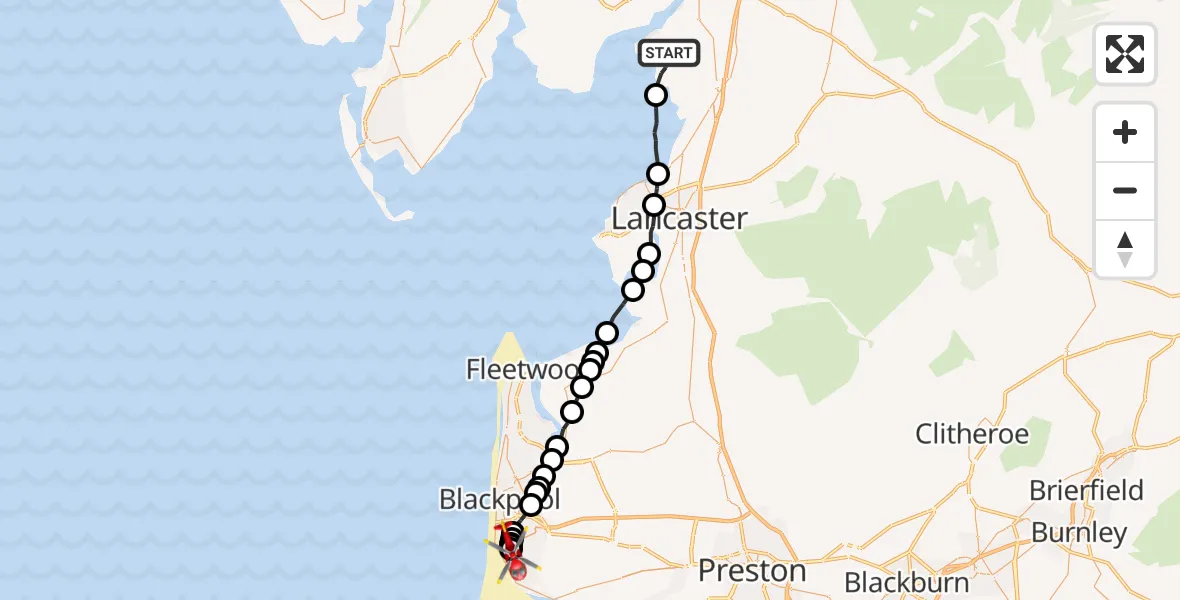
On Saturday, 7 March 2026 at 12:57, a Air Ambulance Helicopter departed from Silverdale to Blackpool Airport. It was the Air Ambulance Helicopter with registration number G-NWAA. The flight lasted 14 minutes. During that period, the aircraft travelled 31 miles at an average speed of 128 miles per hour at a maximum altitude of 825 feet.
Helicopter: G-NWAA
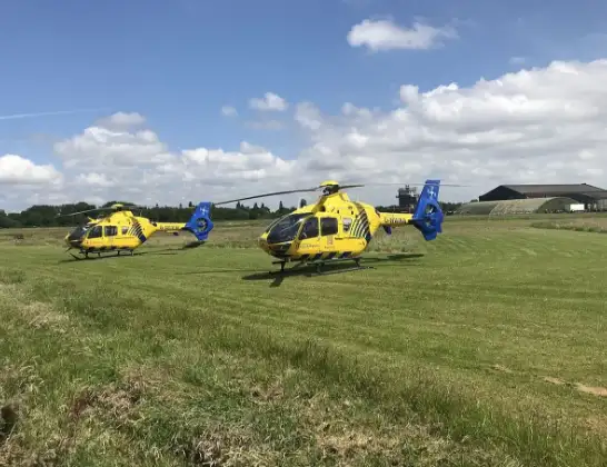
The helicopter G-NWAA is used as a air ambulance helicopter. The main purpose of this aircraft is to transport a Mobile Medical Team to an incident as quickly as possible, enabling the trauma doctor to provide immediate first aid on site. The aircraft is flying this flight as Air Ambulance Helicopter.
Photo: Legion23
31 miles
825 feet
128 mph
15 minutes
12:57
13:12

Route
Blackpool Airport, Blackpool13:12
Blackpool Airport, Blackpool13:12
Fylde, Fylde13:11
Squires Gate, Lancashire13:11
Common Edge, Lancashire13:11
Hawes Side, Lancashire13:11
Blackpool, Lancashire13:10
Staining, Blackpool13:09
Staining, Fylde13:09
Hardhorn, Wyre13:09
Poulton-le-Fylde, Wyre13:08
Fylde, Fylde13:08
Hambleton, Wyre13:07
Stalmine, Wyre13:06
Pilling, Wyre13:06
Pilling, Preston13:06
Pilling, Wyre13:05
Wyre, Wyre13:05
Lancaster, Lancaster13:04
Glasson Dock, Lancaster13:03
Overton, Lancaster13:03
Lancaster, Lancaster13:01
Morecambe, Lancaster13:01
Lancaster, Lancaster12:59
Waterslack road, Lancaster12:57
Today
Flights Silverdale
Helicopter flights on your website?
You can easily display helicopter flights on your own website. Use the embed code.
