Air Ambulance Helicopter to Advie, Mastrick Close
Friday, 6 March 2026 | 20:59 | From Aberdeen Royal Infirmary Helistrip
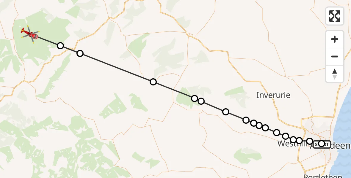
On Friday, 6 March 2026 at 20:59, a Air Ambulance Helicopter departed from Aberdeen Royal Infirmary Helistrip to Advie. It was the Air Ambulance Helicopter with registration number G-GSAS. The flight lasted 27 minutes. During that period, the aircraft travelled 58 miles at an average speed of 129 miles per hour at a maximum altitude of 2925 feet.
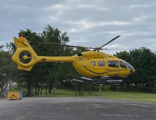
Helicopter: G-GSAS
The helicopter G-GSAS is used as a air ambulance helicopter. The main purpose of this aircraft is to transport a Mobile Medical Team to an incident as quickly as possible, enabling the trauma doctor to provide immediate first aid on site. The aircraft is flying this flight as Air Ambulance Helicopter.
Photo: Scanbus
59 miles
2925 feet
129 mph
28 minutes
20:59
21:26

Route
21:26
Advie, Advie21:23
Ballindalloch, Ballindalloch21:21
Cabrach, Cabrach21:15
Alford, Alford21:11
Tullynessle, Tullynessle21:11
Whitehouse, Whitehouse21:09
Monymusk, Monymusk21:07
Sauchen, Sauchen21:06
Achath, Achath21:06
Dunecht, Dunecht21:05
Lyne of Skene, Lyne of Skene21:04
Kirkton of Skene, Kirkton of Skene21:03
Westhill, Westhill21:03
Aberdeen City, Aberdeen City21:02
Kingswells, Aberdeen City21:01
Mastrick Close, Aberdeen City21:00
Aberdeen City, Aberdeen City20:59
Aberdeen Royal Infirmary Helistrip, Aberdeen20:59
Live flights
Police Helicopter on its way from Ewelme13 Jul 22:24
Today
Police Helicopter to Bournemouth Airport13 Jul 23:55
Air Ambulance Helicopter to Cardiff Heliport13 Jul 23:38
Police Helicopter to Birmingham Airport13 Jul 23:21
Police Helicopter to Irlam, Twelve Yards Road13 Jul 23:00
Flights Advie
Air Ambulance Helicopter to Advie, B910231 Mar 22:10
Air Ambulance Helicopter to Migvie16 Feb 17:56
Helicopter flights on your website?
You can easily display helicopter flights on your own website. Use the embed code.
