Air Ambulance Helicopter to Coventry, Hollyfast Lane
Friday, 6 March 2026 | 16:38 | From Coventry Airport
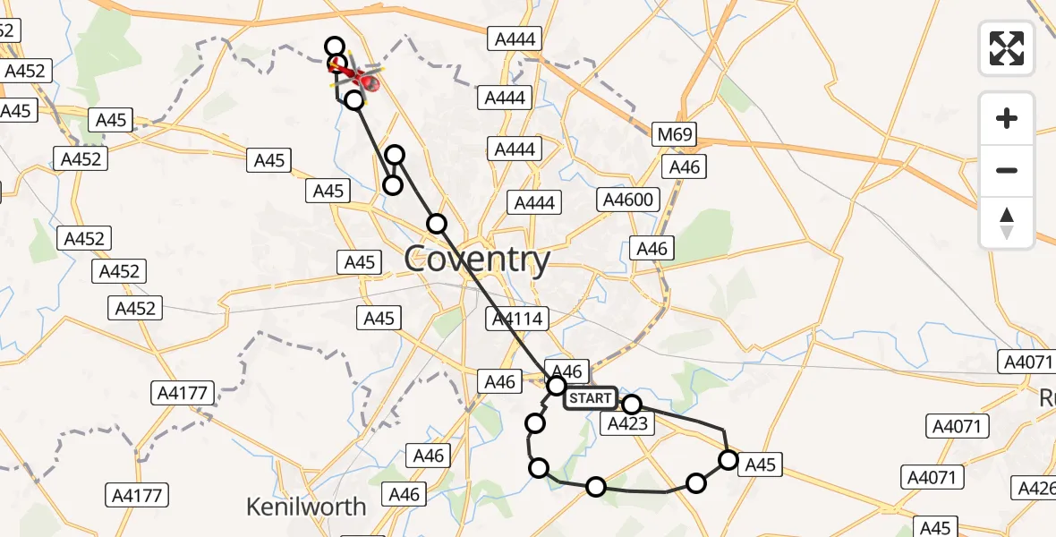
On Friday, 6 March 2026 at 16:38, a Air Ambulance Helicopter departed from Coventry Airport to Coventry. It was the Air Ambulance Helicopter with registration number G-WNAS. The flight lasted 18 minutes. During that period, the aircraft travelled 18 miles at an average speed of 60 miles per hour at a maximum altitude of 1000 feet.
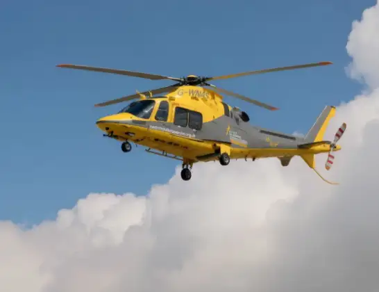
Helicopter: G-WNAS
The helicopter G-WNAS is used as an ambulance helicopter. The helicopter is equipped with a stretcher for transporting patients. The helicopter is often used to transport to hospitals.
Photo: Tony Melony
18 miles
1000 feet
60 mph
18 minutes
16:38
16:56

Route
Hollyfast Lane, Coventry16:56
North Warwickshire, North Warwickshire16:56
Corley, North Warwickshire16:55
Coventry, Coventry16:54
Allesley, Coventry16:54
Coventry, Coventry16:54
Daimler Green, Coventry16:53
Scimitar Way, Coventry16:52
Coventry, Coventry16:52
Coventry Airport, Coventry, West Midlands16:42
Baginton, Warwick16:41
Bubbenhall, Warwick16:41
Rugby, Rugby16:40
Stretton on Dunsmore CP, Rugby16:40
Ryton-on-Dunsmore, Rugby16:39
Siskin Drive, West Midlands16:38
Live flights
Today
Flights Coventry
Police Helicopter to Birmingham Airport30 Mar 18:47
Police Helicopter to Coventry, Moat Avenue30 Mar 18:32
Air Ambulance Helicopter to Coventry Airport28 Mar 18:31
Helicopter flights on your website?
You can easily display helicopter flights on your own website. Use the embed code.
