Air Ambulance Helicopter to Ballindalloch, Westburn Drive
Wednesday, 4 March 2026 | 17:41 | From Aberdeen Royal Infirmary Helistrip
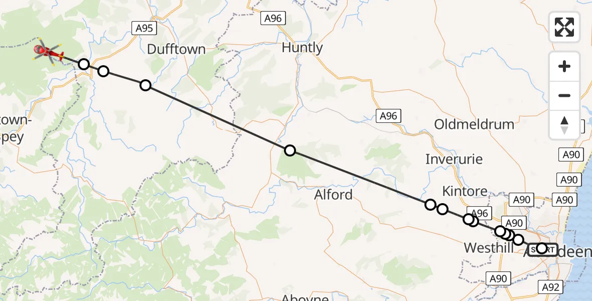
On Wednesday, 4 March 2026 at 17:41, a Air Ambulance Helicopter departed from Aberdeen Royal Infirmary Helistrip to Ballindalloch. It was the Air Ambulance Helicopter with registration number G-GSAS. The flight lasted 23 minutes. During that period, the aircraft travelled 54 miles at an average speed of 143 miles per hour at a maximum altitude of 2700 feet.
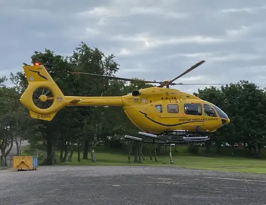
Helicopter: G-GSAS
The helicopter G-GSAS is used as a air ambulance helicopter. The main purpose of this aircraft is to transport a Mobile Medical Team to an incident as quickly as possible, enabling the trauma doctor to provide immediate first aid on site. The aircraft is flying this flight as Air Ambulance Helicopter.
Photo: Scanbus
54 miles
2700 feet
143 mph
23 minutes
17:41
18:04

Route
18:04
Ballindalloch18:03
Marypark18:02
Dufftown18:00
Rhynie17:53
Kemnay17:47
Lyne of Skene17:47
Blackchambers17:46
Muir of Kinellar17:45
Aberdeen City17:44
Kingswells, Aberdeen City17:44
Aberdeen City17:44
Kingswells, Aberdeen City17:43
Aberdeen City17:42
Westburn Drive, 17:41
Live flights
Today
Flights Ballindalloch
Coastguard Helicopter to Inverness Airport5 Jul 15:13
Air Ambulance Helicopter to North Sea22 Feb 15:34
Coastguard Helicopter to Ballindalloch11 Jan 13:48
Helicopter flights on your website?
You can easily display helicopter flights on your own website. Use the embed code.
