Air Ambulance Helicopter to Brougham, Meadow View
Wednesday, 4 March 2026 | 16:18 | From Langwathby
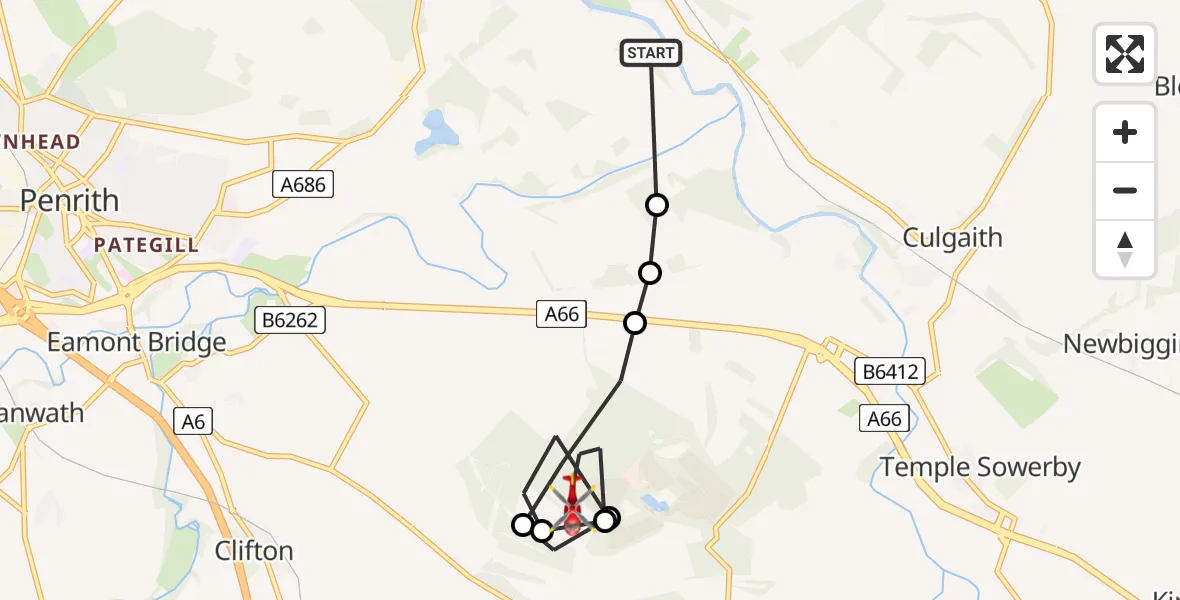
On Wednesday, 4 March 2026 at 16:18, a Air Ambulance Helicopter departed from Langwathby to Brougham. It was the Air Ambulance Helicopter with registration number G-NHAE. The flight lasted 4 minutes. During that period, the aircraft travelled 7 miles at an average speed of 94 miles per hour at a maximum altitude of 975 feet.
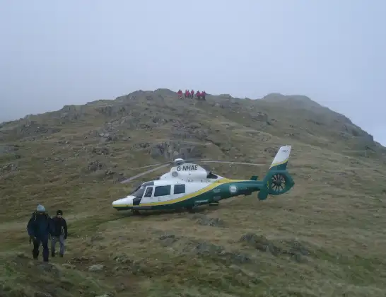
Helicopter: G-NHAE
The helicopter G-NHAE is used as a air ambulance helicopter. The main purpose of this aircraft is to transport a Mobile Medical Team to an incident as quickly as possible, enabling the trauma doctor to provide immediate first aid on site. The aircraft is flying this flight as Air Ambulance Helicopter.
Photo: Michael Earnshaw
7 miles
975 feet
94 mph
5 minutes
16:18
16:22

Route
Meadow View, 16:22
Brougham16:21
Melkinthorpe16:21
Brougham16:20
Melkinthorpe16:19
Brougham16:19
RAF Hornby Hall, Penrith, Cumbria16:18
Brougham, 16:18
Langwathby16:18
Today
Flights Brougham
Air Ambulance Helicopter to Kirksanton12 Jul 14:37
Air Ambulance Helicopter to Carlisle General18 Jun 12:52
Air Ambulance Helicopter to Brougham18 Jun 12:16
Air Ambulance Helicopter to Cark airfield4 May 12:15
Air Ambulance Helicopter to Brougham, Edenhall29 Apr 19:54
Flights Langwathby
Air Ambulance Helicopter to Langwathby12 Jul 16:53
Air Ambulance Helicopter to Ponsonby8 Jul 17:56
Air Ambulance Helicopter to Langwathby4 Jul 17:05
Air Ambulance Helicopter to Irish Sea2 Jul 11:03
Air Ambulance Helicopter to Langwathby1 Jul 13:07
Air Ambulance Helicopter to Langwathby, B641230 Jun 18:59
Helicopter flights on your website?
You can easily display helicopter flights on your own website. Use the embed code.
