Police Helicopter to MOD St Athan
Wednesday, 4 March 2026 | 14:07 | From Pontypool
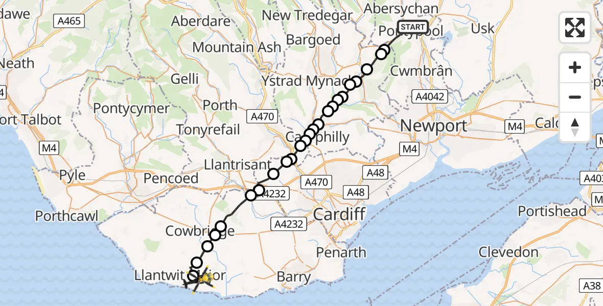
On Wednesday, 4 March 2026 at 14:07, a Police Helicopter departed from Pontypool to MOD St Athan. It was the Police Helicopter with registration number G-NWOI. The flight lasted 14 minutes. During that period, the aircraft travelled 30 miles at an average speed of 131 miles per hour at a maximum altitude of 1825 feet.
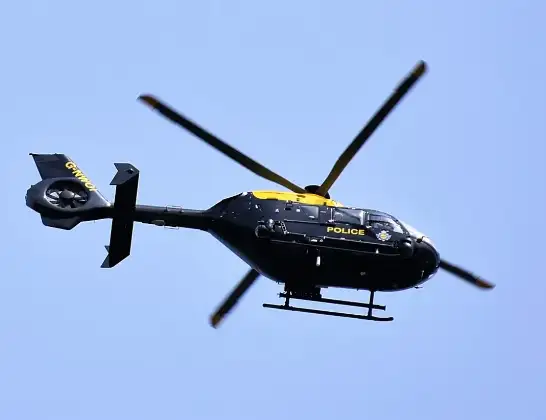
Helicopter: G-NWOI
The helicopter G-NWOI is used by the British police. The helicopter is deployed in pursuits, missing persons cases and other incidents where a helicopter provides added value.
Photo: Alec Wilson
30 miles
1825 feet
131 mph
14 minutes
14:07
14:21

Route
MOD St Athan, St Athan, Vale of Glamorgan14:21
Boverton14:21
Llanmaes14:20
St Mary Church14:19
St Hilary14:19
Aberthin14:18
Pendoylan14:17
Peterston-super-Ely14:17
Cardiff14:16
Gwaelod-y-garth14:15
Taffs Well14:15
Nantgarw14:15
Caerphilly14:14
Trecenydd14:14
Energlyn14:14
Caerphilly14:14
Bedwas14:13
Cwmfelinfach14:13
Ynys-ddu14:13
Cwmfelinfach14:12
Wattsville14:12
Abercarn14:12
Gwyddon14:11
Newbridge14:10
Crumlin14:10
Penygarn Road, 14:07
Live flights
Today
Flights Pontypool
Air Ambulance Helicopter to Cardiff Heliport26 May 18:15
Air Ambulance Helicopter to Cardiff Heliport19 May 23:19
Air Ambulance Helicopter to Pontypool, A404219 May 22:28
Air Ambulance Helicopter to Cardiff Heliport23 Apr 18:35
Police Helicopter to MOD St Athan4 Mar 14:07
Helicopter flights on your website?
You can easily display helicopter flights on your own website. Use the embed code.
