Air Ambulance Helicopter to Stoke, Oliver Road
Wednesday, 4 March 2026 | 11:47 | From Cranage
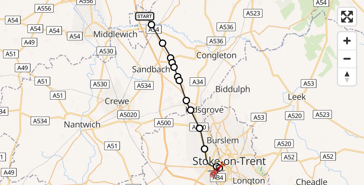
On Wednesday, 4 March 2026 at 11:47, a Air Ambulance Helicopter departed from Cranage to Stoke. It was the Air Ambulance Helicopter with registration number G-NWEM. The flight lasted 59 minutes. During that period, the aircraft travelled 17 miles at an average speed of 18 miles per hour at a maximum altitude of 1125 feet.
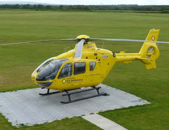
Helicopter: G-NWEM
The helicopter G-NWEM is used as a air ambulance helicopter. The main purpose of this aircraft is to transport a Mobile Medical Team to an incident as quickly as possible, enabling the trauma doctor to provide immediate first aid on site. The aircraft is flying this flight as Air Ambulance Helicopter.
Photo: Craig Sunter
18 miles
1125 feet
18 mph
60 minutes
11:47
12:46

Route
Oliver Road, Stoke-on-Trent12:46
Stoke, Stoke-on-Trent12:45
Stoke-on-Trent12:45
Newcastle-under-Lyme12:44
Chesterton, Newcastle-under-Lyme12:43
Talke, Kidsgrove12:42
Church Lawton12:41
Rode Heath12:40
Betchton12:40
Rode Heath12:40
Mossend12:39
Arclid12:39
Brereton12:38
Holmes Chapel12:37
Cranage, 12:37
Knutsford Road, 12:36
Knutsford Road, 11:49
Cranage11:47
Live flights
Today
Coastguard Helicopter to 16:24:21
Flights Stoke
Air Ambulance Helicopter to Stoke, Croft Lane14 Feb 23:01
Air Ambulance Helicopter to Stoke, Hilton Road14 Feb 16:53
Air Ambulance Helicopter to Nottingham Heliport31 Jan 15:48
Flights Cranage
Helicopter flights on your website?
You can easily display helicopter flights on your own website. Use the embed code.
