Air Ambulance Helicopter to Bonds, Limestone Avenue
Wednesday, 4 March 2026 | 9:44 | From Little Thornton
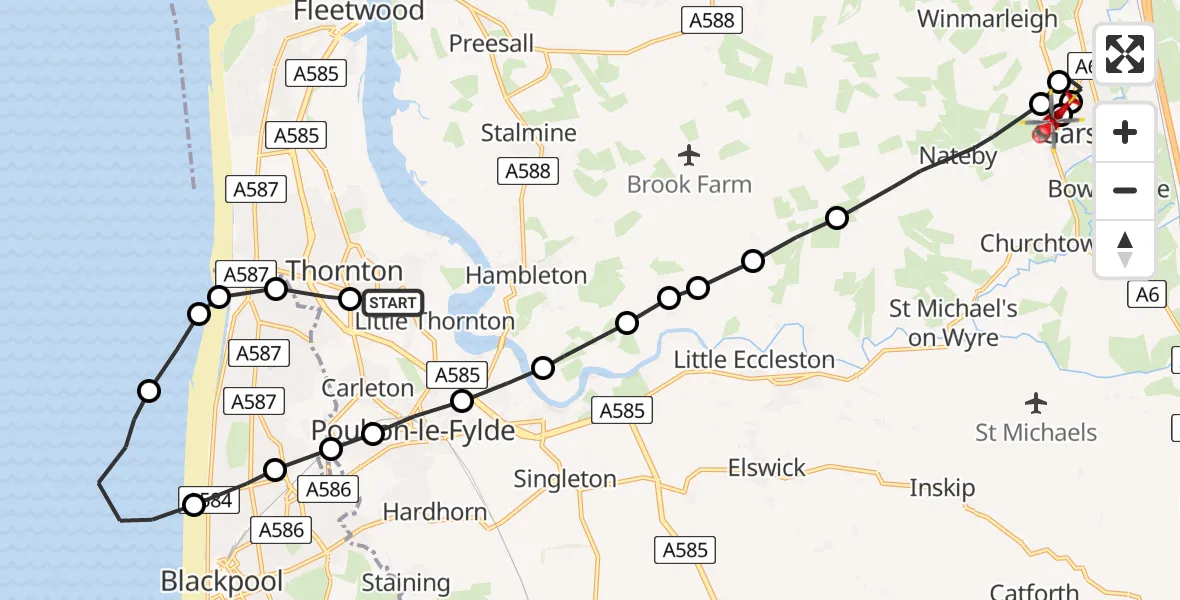
On Wednesday, 4 March 2026 at 9:44, a Air Ambulance Helicopter departed from Little Thornton to Bonds. It was the Air Ambulance Helicopter with registration number G-NWAA. The flight lasted 10 minutes. During that period, the aircraft travelled 20 miles at an average speed of 119 miles per hour at a maximum altitude of 750 feet.
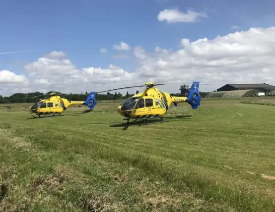
Helicopter: G-NWAA
The helicopter G-NWAA is used as a air ambulance helicopter. The main purpose of this aircraft is to transport a Mobile Medical Team to an incident as quickly as possible, enabling the trauma doctor to provide immediate first aid on site. The aircraft is flying this flight as Air Ambulance Helicopter.
Photo: Legion23
21 miles
750 feet
119 mph
11 minutes
09:44
09:55

Route
Limestone Avenue, Garstang09:55
Bonds, Garstang09:54
Cabus, Garstang09:54
Cabus, Wyre09:53
Winmarleigh, Wyre09:53
Nateby, Wyre09:51
Wyre, Lancashire09:51
Preston, Lancashire09:51
Wyre, Lancashire09:50
Hambleton, Wyre09:50
Wyre, Lancashire09:50
Little Singleton, Fylde09:49
Poulton-le-Fylde, Wyre09:49
Carleton, Wyre09:48
Bispham, Lancashire09:48
Blackpool, Lancashire09:48
Irish Sea09:46
Bispham, Lancashire09:46
Little Bispham, Lancashire09:46
Anchorsholme, Lancashire09:45
Thornton, Wyre09:45
Ainsdale Avenue, Wyre09:44
Live flights
Today
Flights Bonds
Helicopter flights on your website?
You can easily display helicopter flights on your own website. Use the embed code.
